1.0 hr
Overview
The Summit Trail is part of the Government Camp Trail System and makes up the south half of a large loop around the town of Government Camp. It begins (or ends) at the Nordic Sno-park located at the east end of the Skibowl west parking lot, and gently climbs on native surface singletrack through thick forest to the bottom of the Multorpor ski lift along what is known as the Lake Rd. <br><br>The trail then continues through the east side of the Skibowl Ski area skirting behind the Multorpor Lodge. It then continues on an old narrow dirt road where it eventually heads north towards Highway 26 at the yellow blinking light on the east end of town. Trail can get dusty in open areas after extended periods of dry weather.<br><br>For those wanting to combine West Summit Trail with Crosstown north of Hwy 26 for a 5-mile around the town, you should ride Summit to the highway, cross at the blinking yellow light VERY CAREFULLY and then ride through the Summit Ski area parking lot to the Crosstown Trail #755. From Crosstown, take Maggie's Trail #753, and then Lucy's Trail. Turn right at the end of Lucy's Trail which puts you on the Government Camp Loop Road. Turn right again and cross the highway at the other blinking yellow light VERY CAREFULLY, and cross over to the east end of the Skibowl parking lot where the Nordic Sno-park marks the beginning of the West Summit Trail.<br><br>The Summit Trail passes through the Skibowl Ski Area where in summer there are horseback riding, bungee jumping, zip lines and an assortment of other recreational opportunities. There are several great places to get something to eat or drink. Skibowl has a system of downhill and lift assisted bike trails that require a fee and permit. Please do not wander off of the Summit Trail to these other trails.<br><br>For those wanting to continue to Trillium Lake, there are a couple of short connectors to get you on the Barlow Trail or a shorter connection called the Summit Barlow Tie Trail.
Trail Stats
3.5 km
95 m
1209 m
1129 m
—
Photos
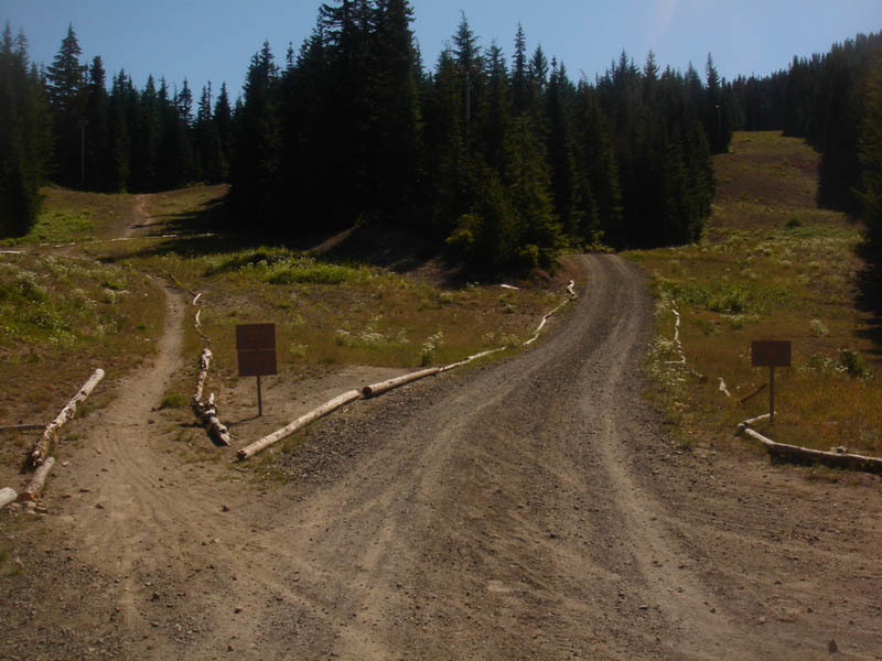
The west end of the Optimator Trail. Photo by Jim Jonke
The west end of the Optimator Trail. Photo by Jim Jonke