3.7 hr
Overview
This trail is easily ridden in either direction.<br><br>To find the south end of the trail, turn north on a small gravel road across from Seattle Bar and go 1.8 miles to a sharp turn in the Manzanita Creek road. There is a sign for the trail here, and limited parking. The northern end has ample trailhead parking and is signed "French Gulch Trailhead."<br><br>Other than a short section of small gravel road in the vicinity of Squaw Creek, Payette is all fun singletrack, with occasional sections of wider, grown-in, old road cuts. When the lake is low, there is some limited exposure to a 150' drop as the trail traverses across steep slopes. Pay attention to junctions along the way: generally you stay parallel to the lake, but beware of sucker trails heading out to a dead-end peninsula 3/4 of a mile from the French Gulch parking area.
Trail Stats
13.2 km
231 m
675 m
600 m
—
Photos
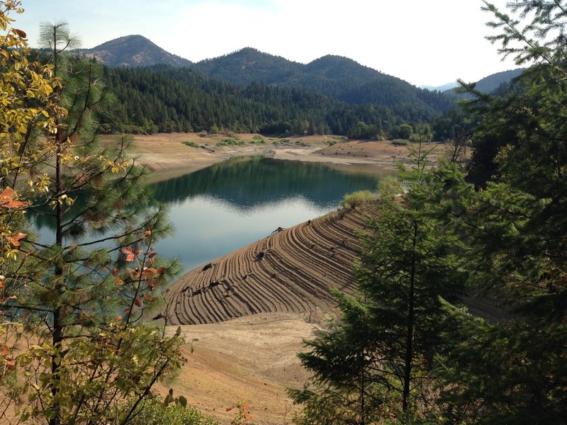
Drought-stricken lake from Payette trail
Drought-stricken lake from Payette trail
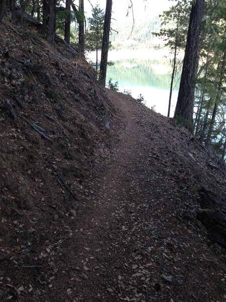
Along the Payette trail
Along the Payette trail
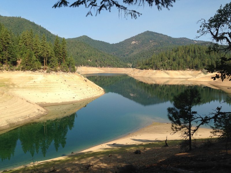
The lake in a drained state from Payette trail
The lake in a drained state from Payette trail
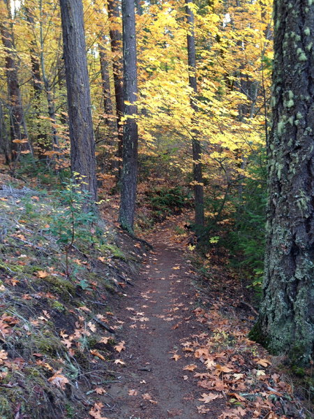
Along the Payette trail
Along the Payette trail