1.4 hr
Overview
Skyliner provides easy access to the higher elevation or west end of Phil's trail system. It's a beautiful, forested flowing trail. Start at the Skyliner's trailhead off of Skyliner Rd and head directly up. You'll then take a left after ~100ft and head toward Bend. <br><br>While you would think this would flow downhill, it actually doesn't. It is an up and down trail, with a few logs and one rocky technical section thrown in to keep you awake. Keep pedaling, it's gorgeous, and after a few miles you'll have the option to explore a variety of additional trails.
Trail Stats
5.4 km
46 m
1504 m
1447 m
—
Photos
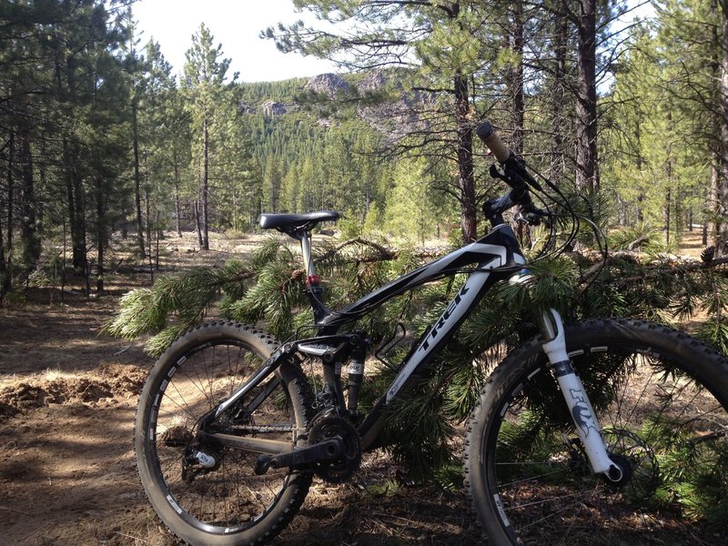
Best views are from the trailhead
Best views are from the trailhead
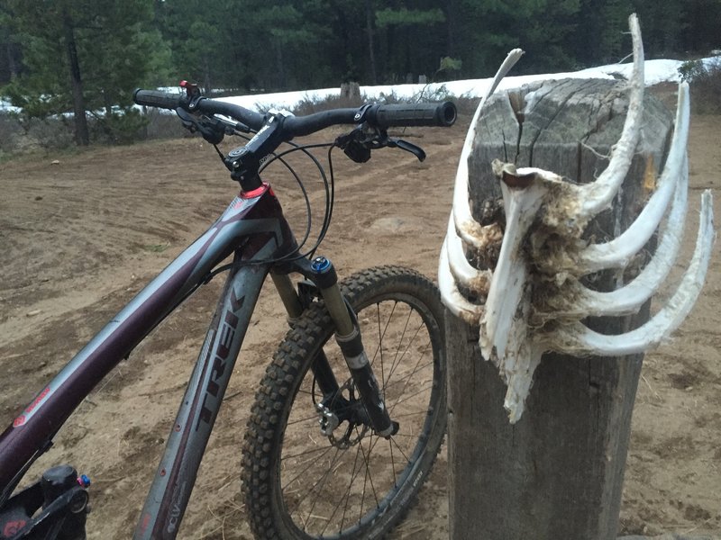
Where the trail ends!!! Whoops is riding like a boss - go hit it!!!
Where the trail ends!!! Whoops is riding like a boss - go hit it!!!