1.2 hr
Overview
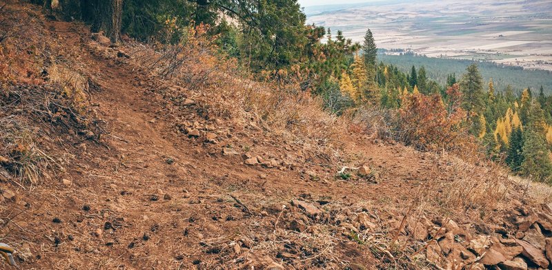
This technical trail is mainly a narrow to moderately wide singletrack. The fast, banked/bermed corners, grade reversals, serious jumps, natural and man-made rollers, imbedded rock sections, exposure, rock drops, off camber corners with loose soils, steep drop-ins to some corners, and a couple of short punchy ascents make this a challenging trail for all abilities. The trail has three primary sections. <br><br>Grande Overlook Section to junction with Caffeine Trail #716 at Intersection 20:<br>Here you'll get the best view from all of MERA! Shuttles to this point are common, but you need a high clearance vehicle. This is a very fast 1.5-mile descent on ATV Trail 320\u2014motorcycles only/Doing Time Trail 789 (starting elevation 5,100 ft). The fast singletrack has bermed corners, large boulders, jumps and rollers along the ridgeline down to Intersection 21. Turn left onto and descend to Intersection 22 at the junction of Mt Emily Rd 202 and Caffeine Trail #716. After crossing Mt Emily Road 202, descend 0.5 miles on Caffeine Trail #716/Doing Time Trail 789, a shared corridor, to the signed junction where Caffeine Trail goes left, and Doing Time Trail goes right. <br><br>Sideslope Section\u20141.2 miles to junction with Fractured Zone Loop Trail #785: <br>Descend the Sideslope Section to the junction with the Fractured Zone Trail #785 (see separate description). Fractured Zone Loop goes left and Doing Time's Sideslope Section goes right to Intersection 23.<br><br>Cayuse Section\u20141.6 miles: <br>At intersection 23, Depends Trail #775 goes right (less technical and more flowing), or you can stay left to descend the Cayuse Section of Doing Time Trail #789 (it\u2019s a net descent with several short, punchy climbs thrown in to test your commitment). This section includes exposure, steep drop-ins, banked loose corners, sweeping drops with large rock obstacles, jumps\u2014serious mountain bike handling skills are needed! Doing Time Trail ends at the junction with Slammer Trail #765, or you may continue another 0.25 mi
Trail Stats
4.5 km
23 m
1534 m
1228 m
—
Photos
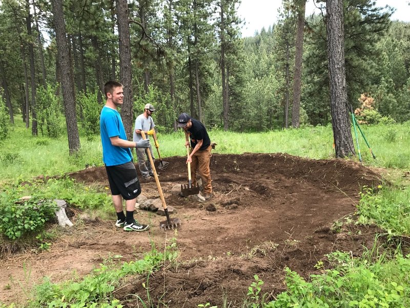
Parent Trap Trail Slaves--Thanks!
Parent Trap Trail Slaves--Thanks!
The runout of one of MERA's steepest drop-ins at Ricks Rock, Upper Doing Time Trail
The runout of one of MERA's steepest drop-ins at Ricks Rock, Upper Doing Time Trail
View from the top of Mt. Emily, Caffeine Trail.
View from the top of Mt. Emily, Caffeine Trail.
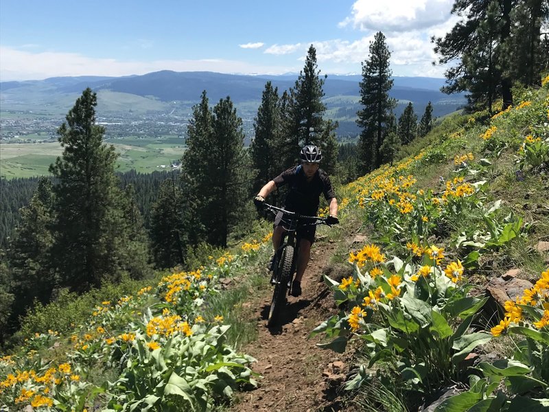
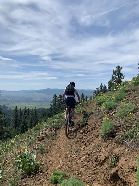
Keeping your eyes on the trail with these big views isn't always easy.
Keeping your eyes on the trail with these big views isn't always easy.
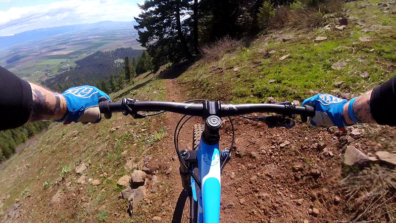
Descending Caffeine Trail near the top of the mountain
Descending Caffeine Trail near the top of the mountain
Whew...almost to the top of Caffeine Trail
Whew...almost to the top of Caffeine Trail
Top of Slammer
Top of Slammer
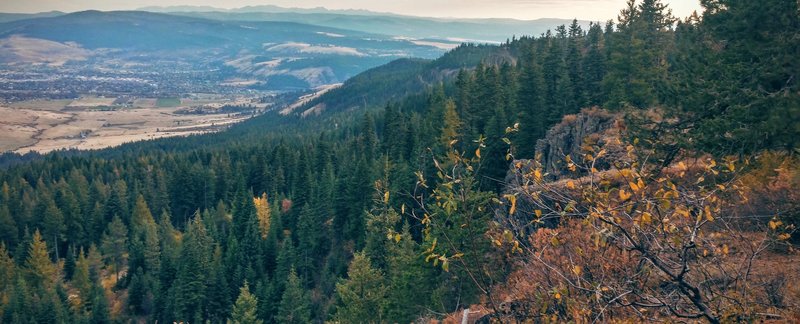
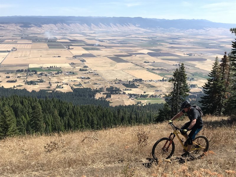
Commanding views from the top!
Commanding views from the top!
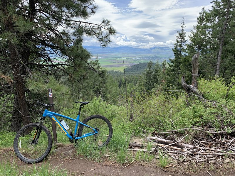
Caffeine
Caffeine
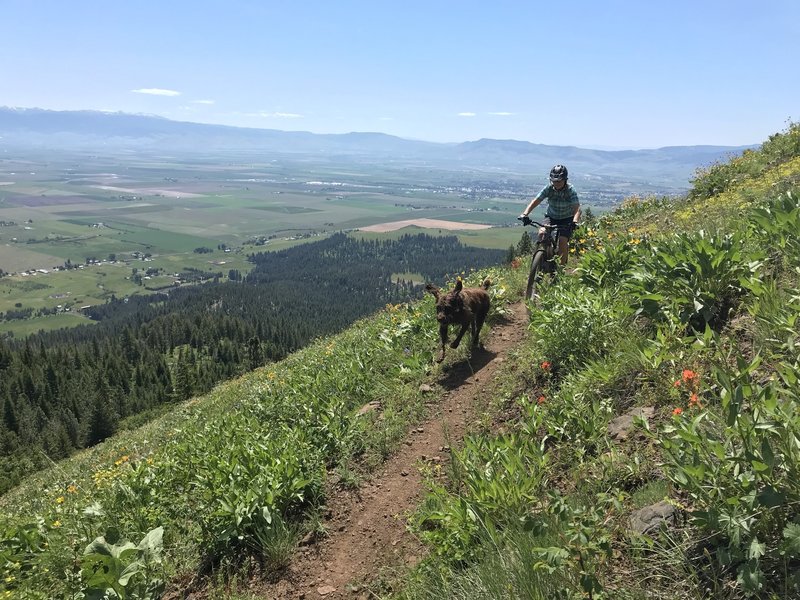
Drafting the Dog while descending Caffeine Trail
Drafting the Dog while descending Caffeine Trail
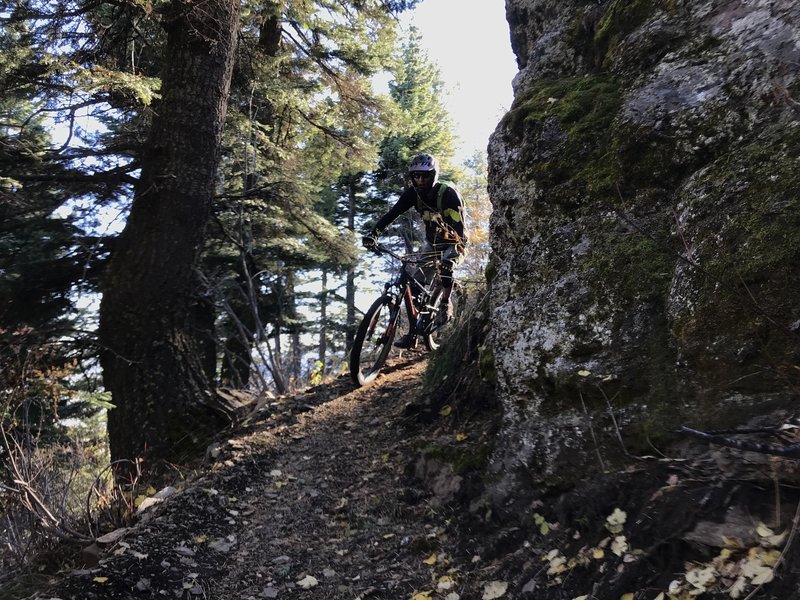
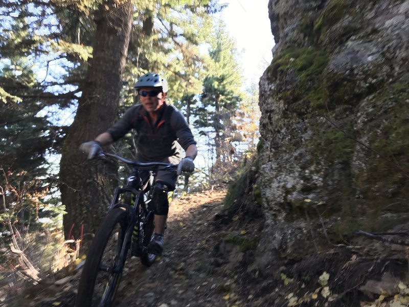
Ed droppping in at RICKS ROCK on Upper Doing Time Trail
Ed droppping in at RICKS ROCK on Upper Doing Time Trail