11.5 hr
Overview
This loop can be ridden in either direction. The climbing is steady for several miles, then it levels off as you cruise around the back of the watershed, crossing the east and west forks of Ashland Creek. Parking is near what is locally known as the "swim reservoir" at the top of Granite Street. If you ride clockwise, you share the route with cars as far as the White Rabbit Trailhead, a little over 2 miles. Riding counter-clockwise, the gate is reached within a few hundred yards. <br><br>Behind the gates, the road is infrequently used by vehicles transporting forest workers. The surface is smooth and sandy, providing a good alternative in wet weather. Most of the section between Four Corners and Horn Gap will be snow-covered in the winter. Many singletrack options exist, particularly on the eastern side of the loop.
Trail Stats
40.3 km
890 m
1494 m
668 m
—
Photos
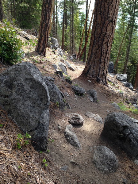
Short rocky section near the southern end of No Candies
Short rocky section near the southern end of No Candies
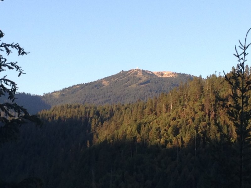
View of Mt Ashland from the Loop Road below Four Corners
View of Mt Ashland from the Loop Road below Four Corners
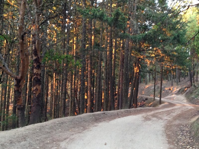
Cruising up the Loop Road as it approaches Lamb Saddle
Cruising up the Loop Road as it approaches Lamb Saddle
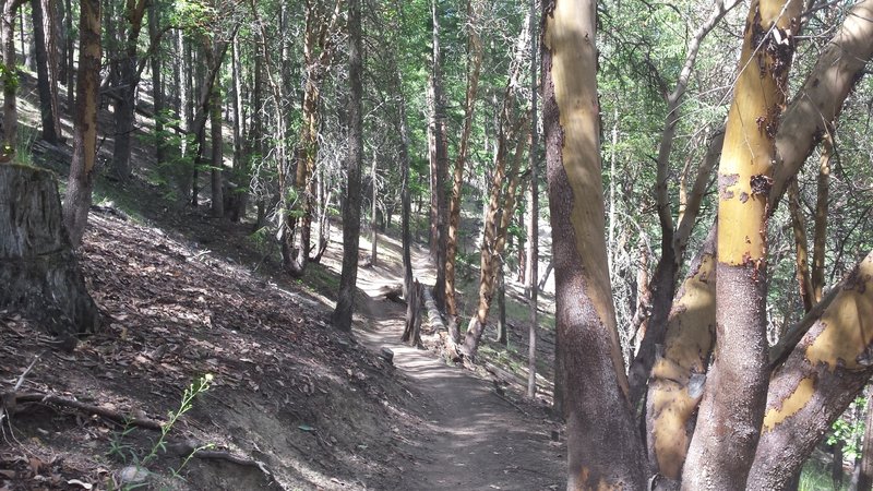
The uphill section
The uphill section
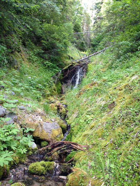
Welcome H2O along the Loop Rd #2060
Welcome H2O along the Loop Rd #2060
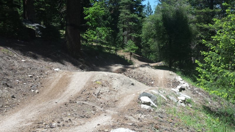
Catwalk double. For alternate route stay right
Catwalk double. For alternate route stay right
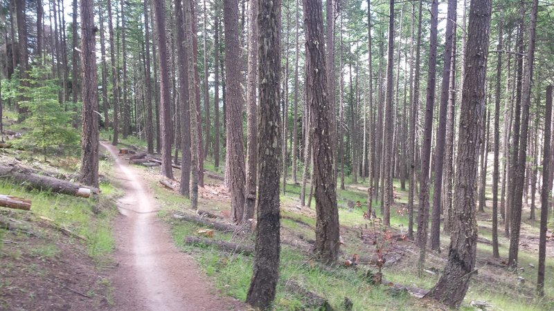
Smooth singletrack.
Smooth singletrack.
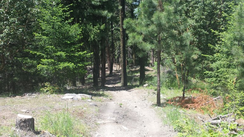
The start of Catwalk
The start of Catwalk