2.1 hr
Overview
This gravel road helps to connect several other roads in this part of the Oregon Coast Range, which permits a variety of options. The other roads or routes in the area include:<br><br>Siletz River Road to the west, Sunshine Road and Rock Creek Road to the east, and the Ft. Hoskins to Valsetz Gravel Ride to the east.<br><br>Note: This road is not named on any of the available maps. However, it runs along Sunshine Creek for most of its length.
Trail Stats
7.3 km
192 m
294 m
150 m
—
Photos
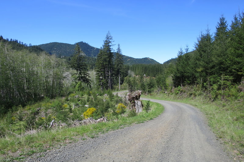
Sunshine Creek Road
Sunshine Creek Road
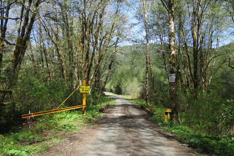
The gate at the intersection of Sunshine Creek Road (managed by Weyerhaeuser) and Sunshine Road (managed by Hancock Forest).
The gate at the intersection of Sunshine Creek Road (managed by Weyerhaeuser) and Sunshine Road (managed by Hancock Forest).
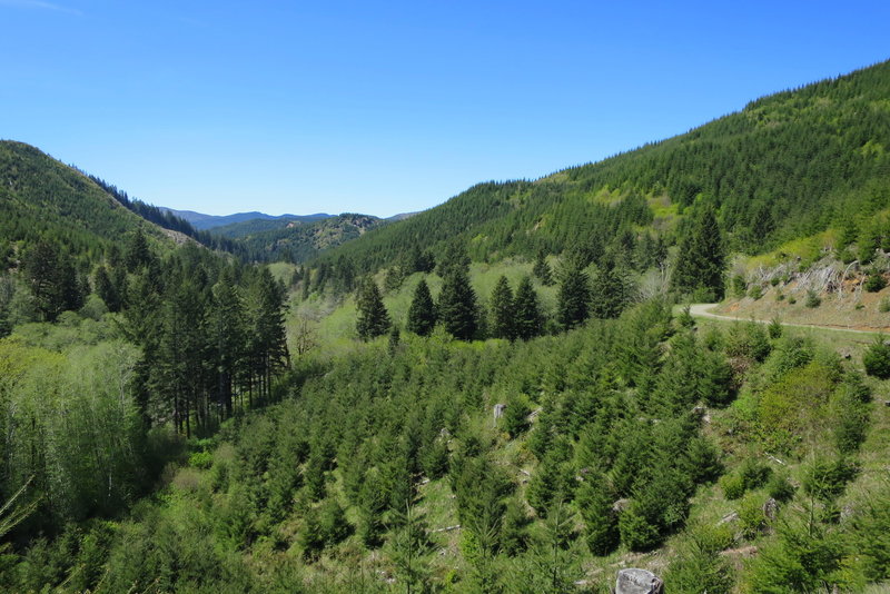
Near the confluence of the Siletz River and Sunshine Creek.
Near the confluence of the Siletz River and Sunshine Creek.
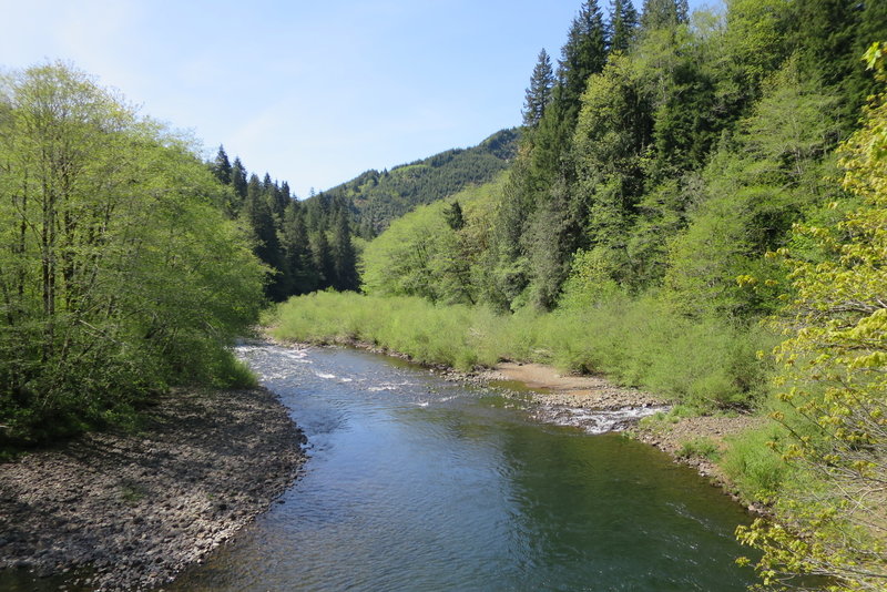
Siletz River
Siletz River
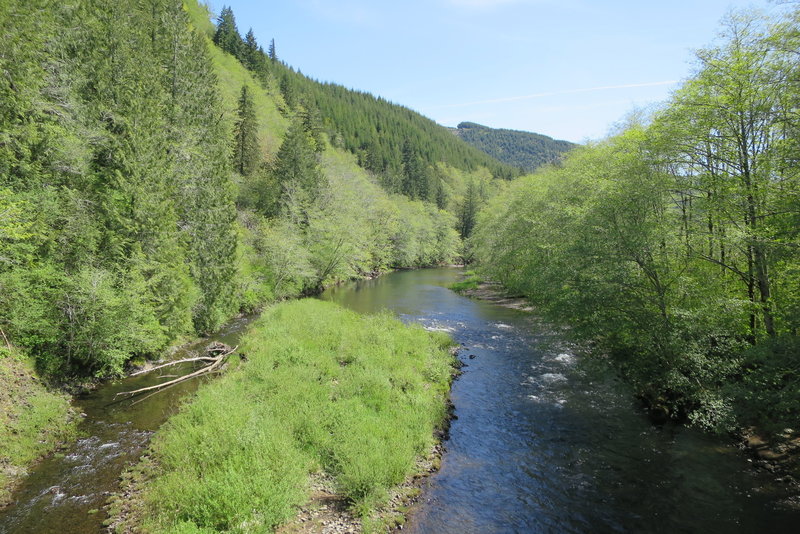
Siletz River
Siletz River