3.1 hr
Overview
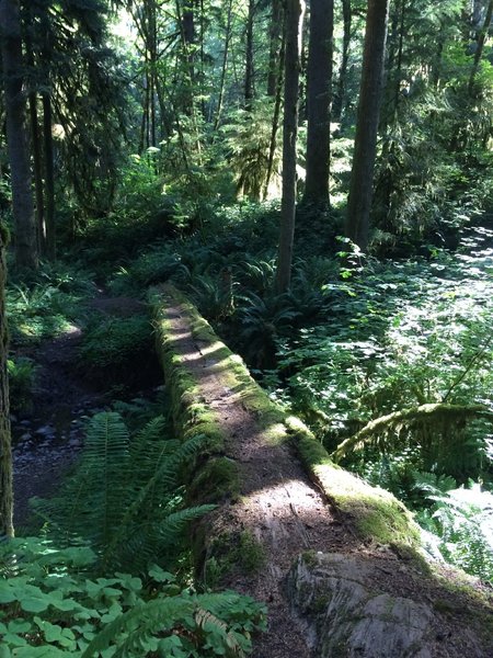
S. Willamette sees much lower bike and foot traffic than the other trails in the Patterson Mt drainage. Probably due to the ruggedness and steepness combined with it "going nowhere" unless you're using it to combing with epic non-shuttle rides of the mountain such as Hardesty or Lawler. <br><br>The west end is used most by equestrians. The east end (between Eula junction and Crale Creek road) is used mostly by foot traffic. Despite the lack of bike use it's quite scenic and a great option.
Trail Stats
9.7 km
419 m
430 m
291 m
—
Photos
Log ride
Log ride