3.7 hr
Overview
From the parking pullout on upper Applegate road, this trail ascends along smooth grades, passing a junction with the Mule Creek Trail after 3/4 mile and continuing up to skirt the south side of Mule Mountain, gaining the ridge to the east of the summit and continuing up. Here the trail steepens as it goes straight up the ridge crest. Soon after, the final climb begins toward the south shoulder of Baldy Peak, traversing steep slopes on a narrow tread. <br><br>From the high point at 4300 feet (a climb of 2600' from the trailhead), the trail proceeds mostly downhill for a mile and a half southward, with a few rougher sections and a couple of short climbs, before reaching its end at a saddle where it meets forest road #300. Here it is possible to continue south and east on roads #300 and #2010 to pick up the eastern terminus of the Little Greyback Trail. Alternatively, it is possible to descend to the west via the Mule Creek Trail, or return to Applegate Road via the way you came up.
Trail Stats
8.7 km
797 m
1315 m
543 m
—
Photos
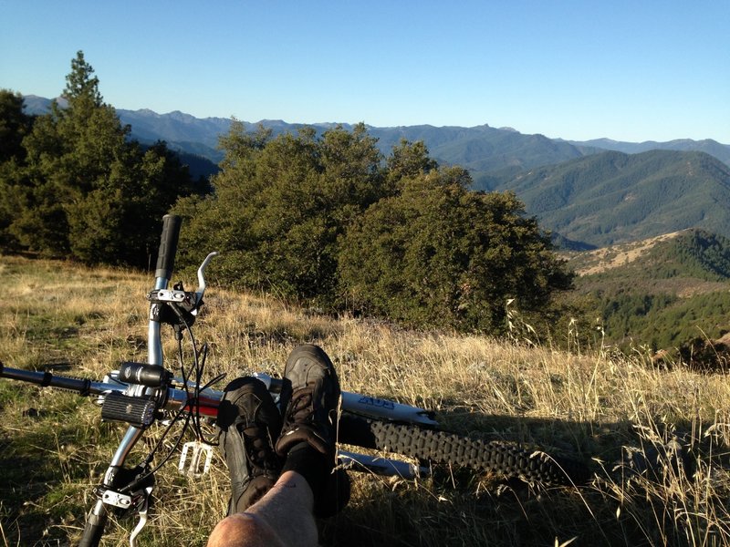
Looking SW from the south shoulder of Baldy Peak; top of the downhill section!
Looking SW from the south shoulder of Baldy Peak; top of the downhill section!