47 min
Overview
Follow this switchbacking dirt road as it leads to the top of Cline Butte. Near the top, at the radio facility, follow a rough singletrack trail along the fence line and around to the NE corner of the facility.<br><br>At the top of the butte there are three downhill options to get you to the highway parking lot, or you can ride the central fire road to the bottom.
Trail Stats
2.1 km
150 m
1238 m
1088 m
—
Photos
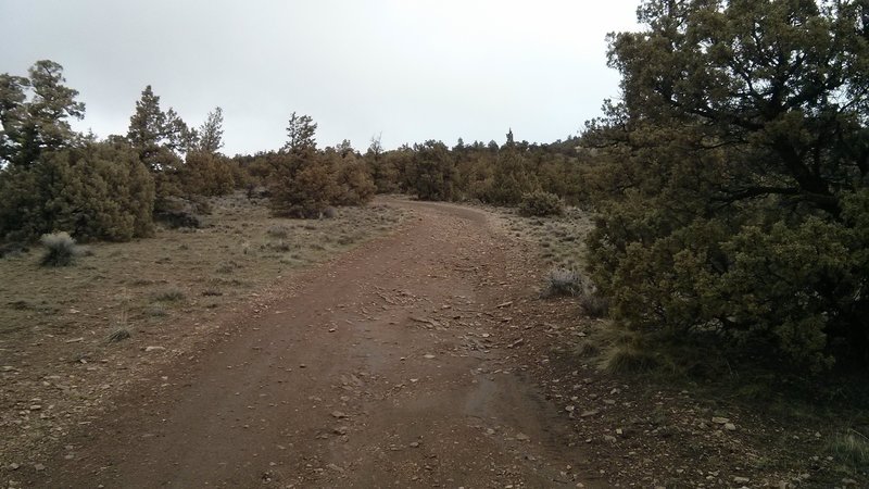
The dirt roads on the back side of the butte are steep and rough.
The dirt roads on the back side of the butte are steep and rough.
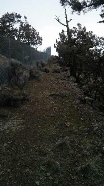
Fence-line at the radio facility.
Fence-line at the radio facility.