7.8 hr
Overview
Start at the Fall Creek trailhead, empty out at the pit toilet, and head out on the trail next to the trail map in the northeast corner of the parking lot. Follow it to a 4 way intersection and hang a left. From there, the trail is very well marked. At mile 4.4 there is an option to go right on the Greenline #6 connector. This is merely a shortcut to a point about 1/3 of the way down GL6. <br><br>If you feel your legs can handle the climb, continue on. Follow the signs for Wedekind Trail until you reach a road at around 6.3 miles and 1850'. From there, continue across the road and to the right (don't take the Porter Trail directly and obviously in front of you) and look for the entrance to Crestline Trail. If you reach a dirt parking area beyond the intersection, you've gone too far.<br><br>Crestline Trail starts with a steep, loose climb that will test your traction control but mellows out into some fun, swoopy XC riding. The trail crosses roads often and is easily picked up on the other side. There is a confusing 4 way intersection around mile 8.0. In front of you'll be 3 roads. Choose the center road, follow it for no more than a football field and look up and to your left. <br><br>Crestline Trail heads into the woods again here. There are two short, very steep, heart popper hills (see if you can make it to the top of the 2nd one and get over the root without dabbing!) followed by some extra fun, flowy downhill that will lead you into a short techy section (those of you riding short travel be cautious your first time down) and back onto the road at the top of Greenline #6.<br><br>Greenline #6 starts just to the south of where Crestline Trail drops you on the road. High speed straights flow into quick, steep switchbacks that can be quite loose in dry conditions. Again, follow all signs labeled Greenline #6. To following GL6 is to follow the path of least resistance when it comes to intersections. This helps the fun and flow factor a ton. After the initial switchbacks, you'll come to another drier and looser sw
Trail Stats
26.0 km
768 m
756 m
183 m
—
Photos
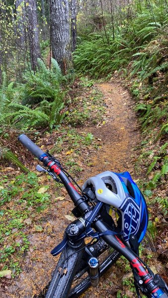
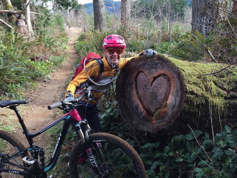
Taking a break on Wedekind
Taking a break on Wedekind
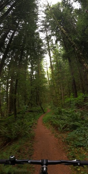
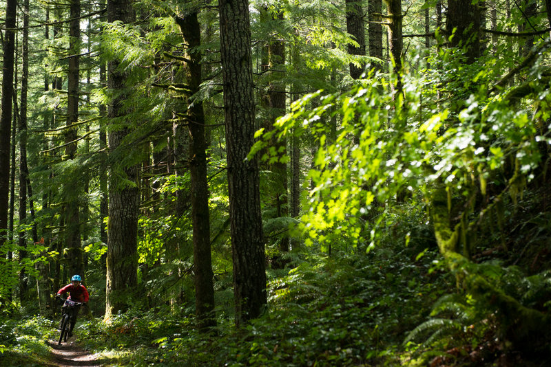
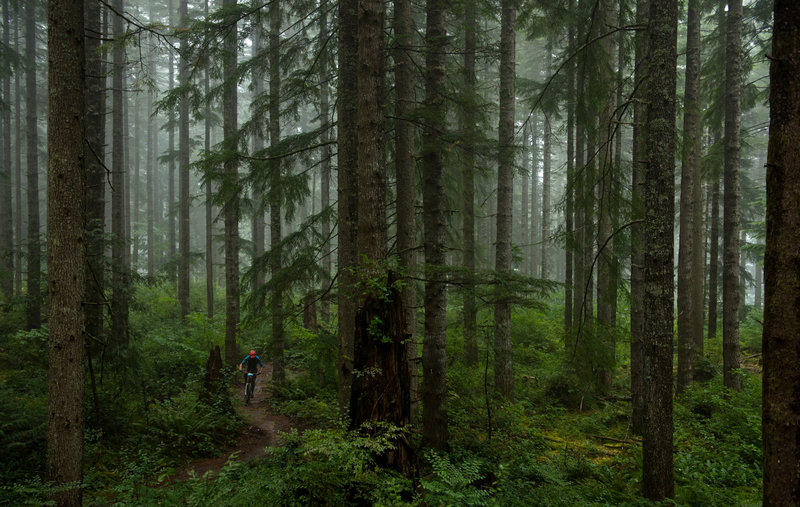
Under the canopy on upper Wedekind.
Under the canopy on upper Wedekind.
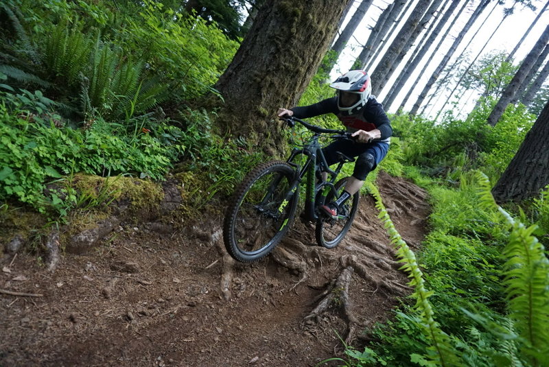
A rider encounters burly roots along Greenline.
A rider encounters burly roots along Greenline.
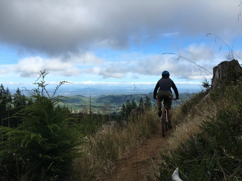
Sweeping views coming down Greenline #6
Sweeping views coming down Greenline #6
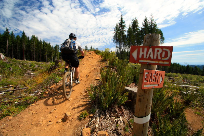
We wouldn't have it any other way . . .
We wouldn't have it any other way . . .
Capital Forest
Capital Forest
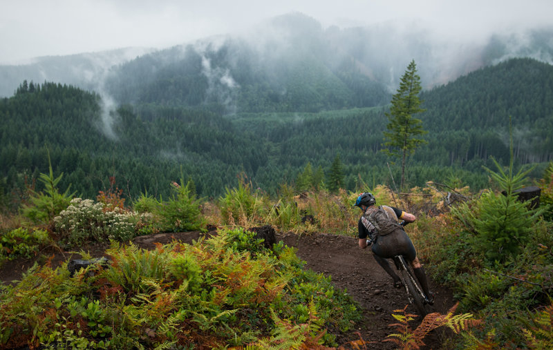
Rapidly changing weather on Greenline.
Rapidly changing weather on Greenline.
Andi Zolton putting in a fast run on Greenline.
Andi Zolton putting in a fast run on Greenline.
Griffin Meyers racing through a forest on Greenline.
Griffin Meyers racing through a forest on Greenline.