10.3 hr
Overview
Park at the Rattlesnake Mountain trailhead (Discover Pass required) south off of I-90 exit 27. <br><br>Start with a long climb right out of the parking lot, Upward Mobility, where you gain over 1,000 feet in 2.8 miles. Then connect to the Raging Ridge Trail for another 1,700 feet of climbing, but this time with a couple short descents to break it up. About two-thirds of the way up Raging Ridge Trail you come to a clearing with some benches and (if the sky is clear) a panoramic view of Mt. Rainier. <br><br>Ride for a few minutes in the clear before heading back into the trees. The end of Raging Ridge Trail is the highest point on this route, and is followed by the first black diamond trail you encounter: No Service. <br><br>No Service has two optional double black lines, each marked and cutting off to the right, but this route sticks to No Service. This trail starts out in the trees and weaves closely through them as you descend. From the beginning to the first access road intersection, the trail is rooty but not rocky. It gets steeper after that, and continues to get steeper and rockier after the next intersection as well. <br><br>Consider these options to bail out if you find yourself beyond your limits. The access road meets up with No Service again at the end of the trail. After the third (and final) intersection, No Service is smooth and fast with artificial jumps and berms. All drops and jumps are rollable or can be ridden around.<br><br>Follow the access road for about half a mile to Return Policy. This is another uphill trail, about a mile of steep climbing, more than a 10% grade, then another mile under 10%. At the top of Return Policy, take a left onto the access road for just a few dozen feet then a quick left (don't miss it, you have to look for it) onto Canyon Creek DH (CCDH).<br><br>You may want to rest a couple minutes before dropping in as CCDH is an extended downhill trail with few places to turn off. This trail is rooty almost the whole way down and a real forearm workout of a trail. This trail
Trail Stats
32.9 km
1266 m
1019 m
326 m
—
Photos
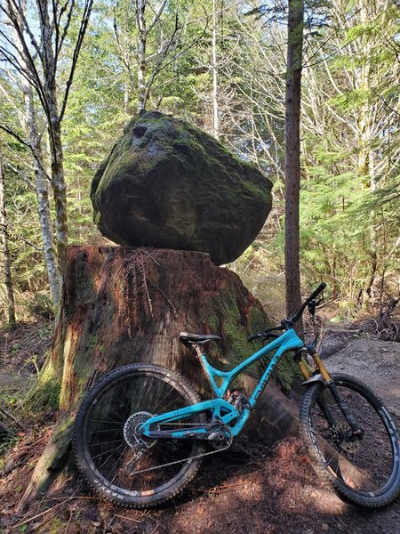
Rock
Rock
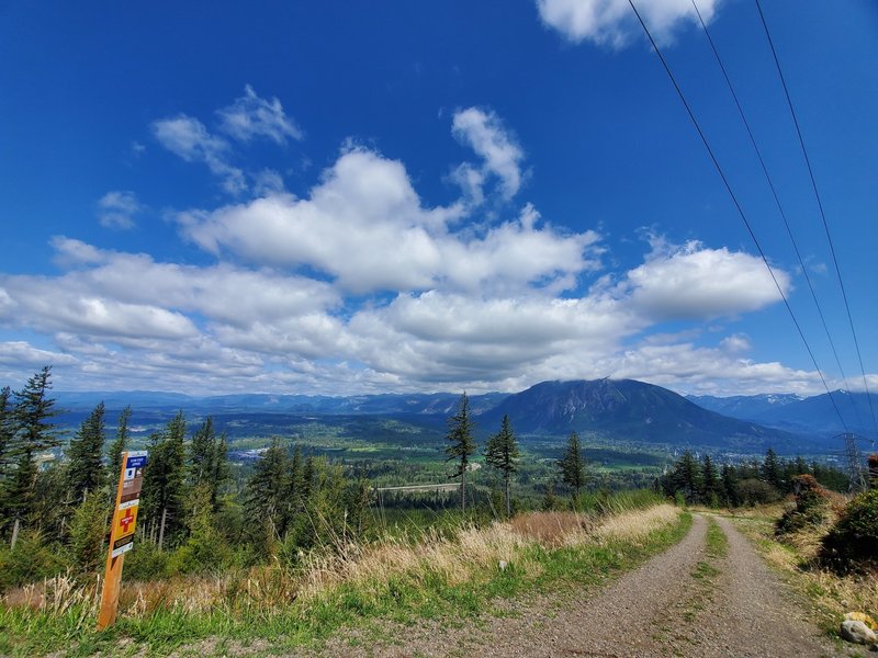
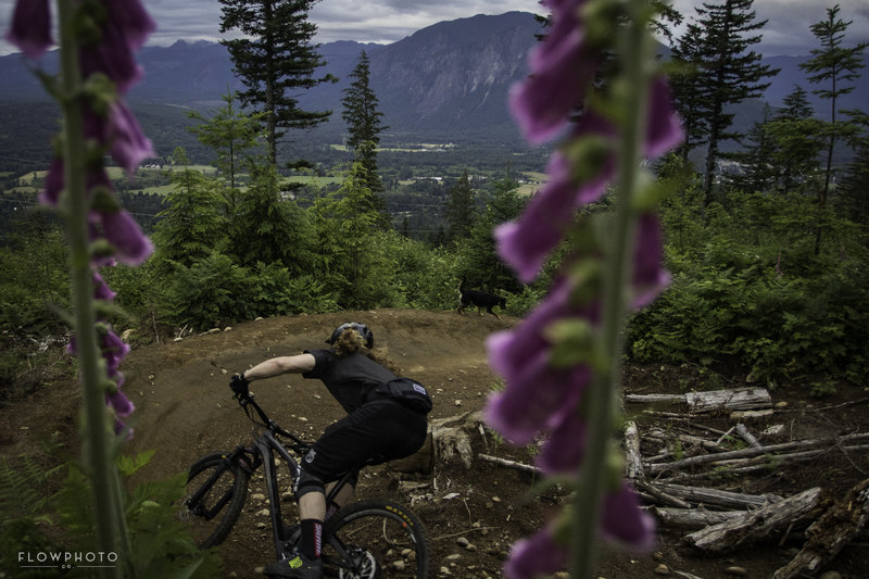
Great view to the valley from the start of the lower flow trail
Great view to the valley from the start of the lower flow trail
View
View
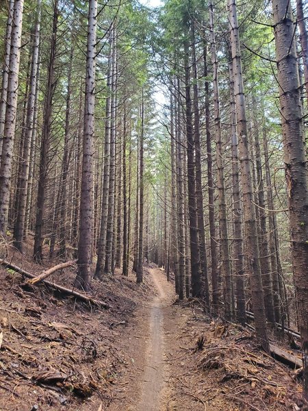
Trees
Trees
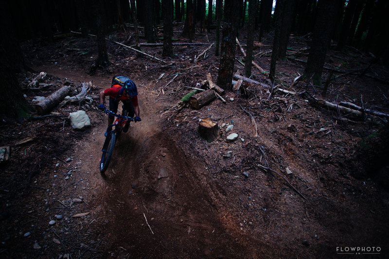
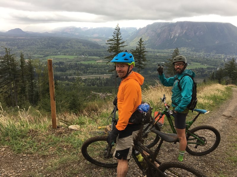
Seth's Bike Hacks ripping the creepy loam section.
Seth's Bike Hacks ripping the creepy loam section.
Bike park style berms the whole way down!
Bike park style berms the whole way down!