1.9 hr
Overview
Accessed by making the climb up Road L1510. The trail begins next to the north corner of the cell tower. Follow the ordinary dirt road downwards for roughly a mile until it crosses a loose shale field alternatively take the Cold Creek Trail Spur for a singletrack start. Although the shale field is short (~400') the rocks are large and shift unpredictably. A picnic table on the north edge of the shale field provides good views and a place to regroup.<br><br>Next the trail heads into the trees for broad sweeping descents linking corner to corner. These fun bomber sections are intermittently dotted with roots and rocks including an optional steep tech section right after the shale field that bypasses the first switchback. The tech begins to fade and more berms pop-up towards the end of the tree section. <br><br>Exiting the trees bring riders to a clear cutting with loads of deep berms and the occasional booter. This section of clear cut includes two gravel crossing, the second of which continues along the Cold Creek Trail. However, this section of trail is closed due to a fatigued bridge crossing. Instead, take the detour to the right onto Murphy's Grade.<br><br>Murphy's Grade leads riders on a wide track for just under a mile until it connects back into the Cold Creek Trail. From there the Cold Creek Trail continues with over a mile of rolling elevation, drops, kickers, and a chunky rock garden near the end. Keep an eye-out as the trail joins Thrillium just before the parking area.
Trail Stats
7.5 km
6 m
1056 m
393 m
—
Photos
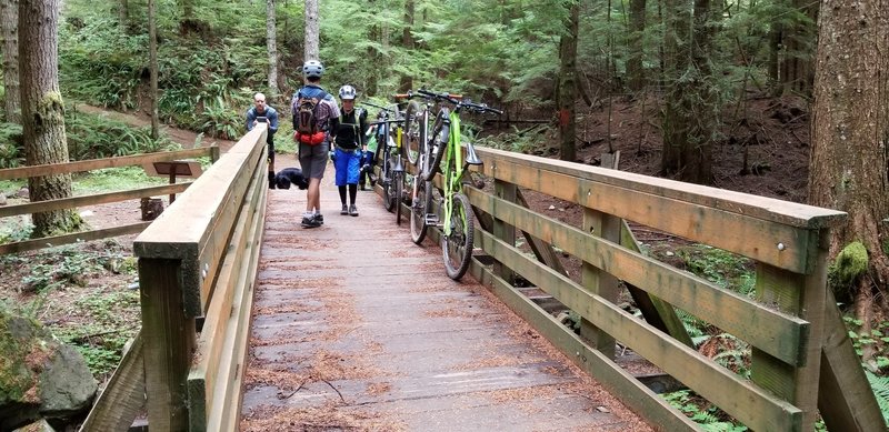
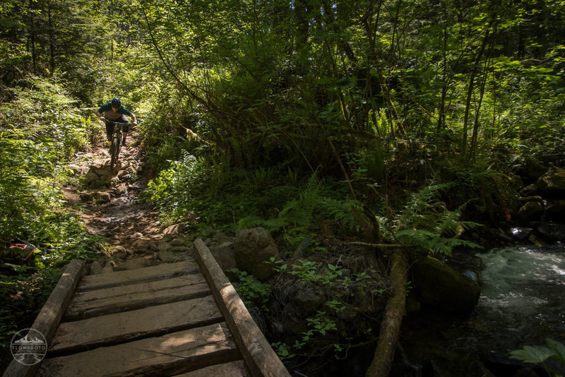
Cold Creek Bridge
Cold Creek Bridge
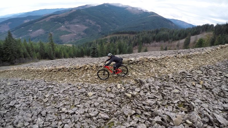
Barreling down scree on the Cold Creek Trail.
Barreling down scree on the Cold Creek Trail.
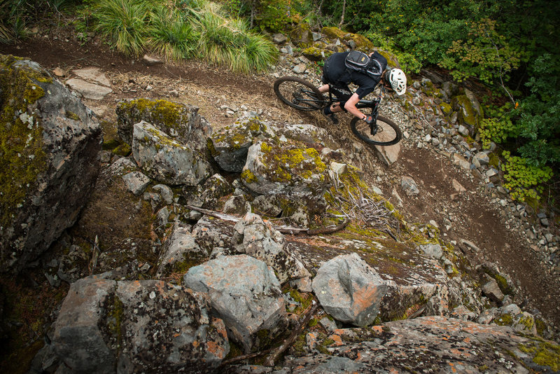
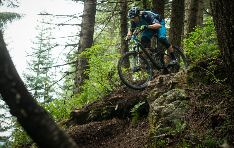
Anthony Palandri heads through a rocky portion of the Cold Creek Trail.
Anthony Palandri heads through a rocky portion of the Cold Creek Trail.
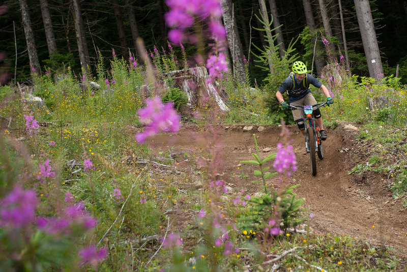
Jason Ding rides the berms in the clearcut of the Cold Creek Trail.
Jason Ding rides the berms in the clearcut of the Cold Creek Trail.
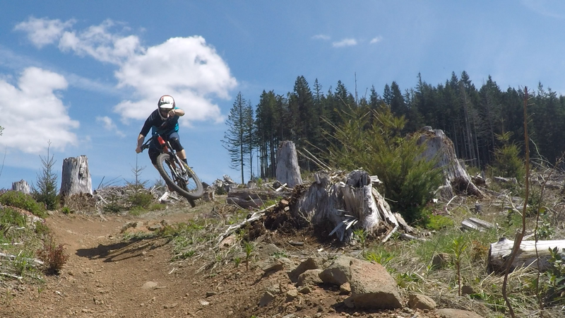
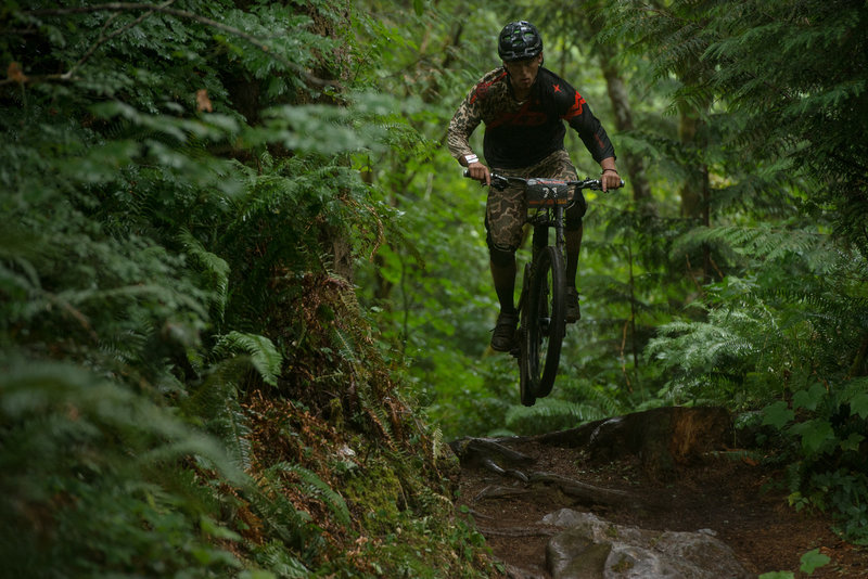
Getting some air on the Cold Creek Trail clear cut.
Getting some air on the Cold Creek Trail clear cut.
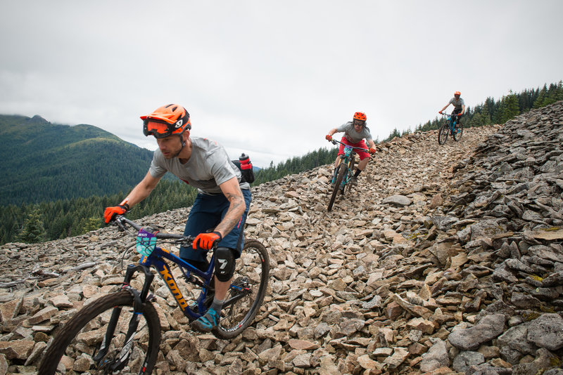
Racers transition across the scree field on the Cold Creek Trail.
Racers transition across the scree field on the Cold Creek Trail.
Never a dull moment descending Cold Creek
Never a dull moment descending Cold Creek
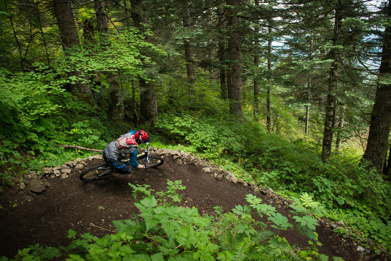
Tight turns through the lush forest along the Cold Creek Trail.
Tight turns through the lush forest along the Cold Creek Trail.
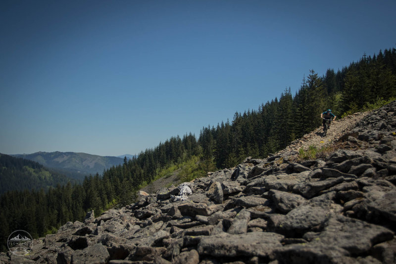
Skree field high up on the Cold Creek Trail.
Skree field high up on the Cold Creek Trail.
There are plenty of natural snipper lines to be found on the Cold Creek Trail.
There are plenty of natural snipper lines to be found on the Cold Creek Trail.
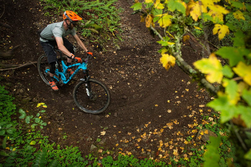
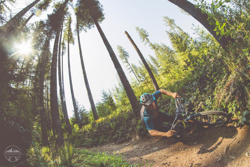
Tyler Littlefield makes quick work of this off-camber turn on Cold Creek Trail.
Tyler Littlefield makes quick work of this off-camber turn on Cold Creek Trail.
Diversity is Cold Creeks middle name.
Diversity is Cold Creeks middle name.
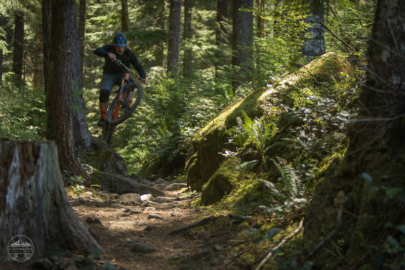
Nick Hardin navigates an optional log drop on the Cold Creek Trail during the Cascadia Dirt Cup.
Nick Hardin navigates an optional log drop on the Cold Creek Trail during the Cascadia Dirt Cup.
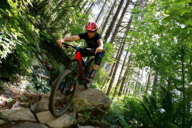
Clearing the roots and rocks on the Cold Creek Trail.
Clearing the roots and rocks on the Cold Creek Trail.

Matt Orlando heads into the tech and steeps on an optional line on the Cold Creek Trail.
Matt Orlando heads into the tech and steeps on an optional line on the Cold Creek Trail.
Beautiful berms hold Cody Olsen tight like a burrito.
Beautiful berms hold Cody Olsen tight like a burrito.