20 min
Overview
The Fairgrounds Park has great parking, nice bathrooms, and running water you can drink. And there are even trails to connect to Whipple Creek Park. During the nice weather, the Whipple Parking areas are full with cars, horse trailers and the whole lot is stuffed. Starting at the Fairgrounds Park is a great way to avoid the whole mess.<br><br>Once you park, just take any of the paved paths north from the parking lot. They all head to the same place eventually. When you are at the top of the maintained grass area look north into the woods. Behind you'll be the picnic table. You'll see a narrow path and 20 feet into the brush a sign that says 'Connector Trail'. Away you go. <br><br>Stay to the left at the fork. (If you go straight/right you'll end up in the Fairgrounds overflow parking lot that is adjacent to the Fire/Police station.) After you stay left, just follow the trail. There may be a couple of side trails that you see, but just ignore them. Keep going straight and follow the zig zag downhill. You'll come to a bridge. Roll over the bridge and pedal up. <br><br>You are now out in the meadow. And there are no signs for anything. The goal is to head west and make it to the gate at the road. Follow the primitive path west. The primitive trail runs parallel to the private driveway on the right. <br><br>Once you get to the west fence line, you are going to see a pedestrian/horse/bike entrance. Head through there. WATCH FOR CARS. Cross the street, turn left and head for the Whipple Creek Stables driveway. The entrance is 1/8 mile south on the right. <br><br>At the driveway don't go more than five feet before turning right (north) and go down the dirt path. On both sides of the path will be white horse fence. This is the unmarked connector trail. <br><br>You are now on private property. We have permission to use this path. Go slow, be nice and don't scare the horses. Try to stay out of the two tire tracks. Instead rolling on either side of the tracks. The stable prefers if the bikes don't deepen the existing ruts.
Trail Stats
1.3 km
6 m
97 m
62 m
—
Photos
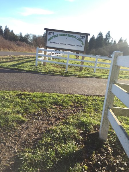
This was taken from the Whipple Creek Way Trailhead. At my back is the trailhead that leads to Whipple Creek Park.
This was taken from the Whipple Creek Way Trailhead. At my back is the trailhead that leads to Whipple Creek Park.
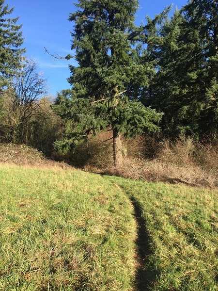
The path across the meadow looks pretty much like this.
The path across the meadow looks pretty much like this.
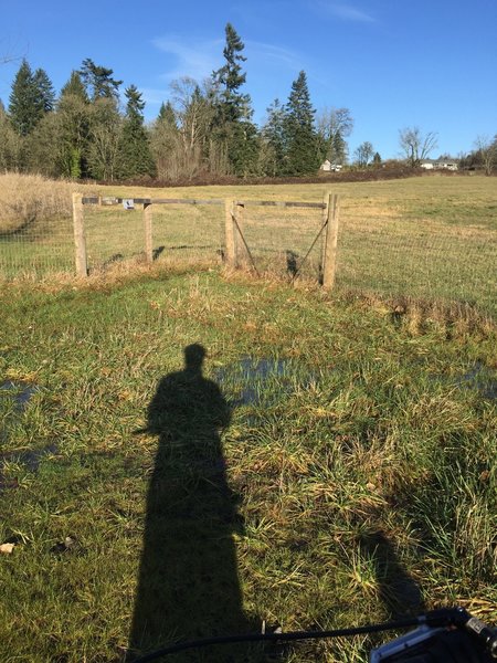
Look for this gate. It is on the east side of NW 11th Ave.
Look for this gate. It is on the east side of NW 11th Ave.
Looking east from the meadow this is what the entrance to the forested part of the connector trail looks like.
Looking east from the meadow this is what the entrance to the forested part of the connector trail looks like.
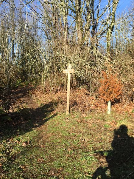
Not exactly where you would expect to find the Connector Trail sign. The sign sits beyond the brush against the tree line.
Not exactly where you would expect to find the Connector Trail sign. The sign sits beyond the brush against the tree line.
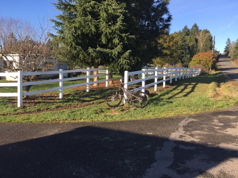
This is the trailhead heading into Whipple Creek Park (via the connector trail) on the Whipple Creek Way Trail. The trail runs between the two fences.
This is the trailhead heading into Whipple Creek Park (via the connector trail) on the Whipple Creek Way Trail. The trail runs between the two fences.
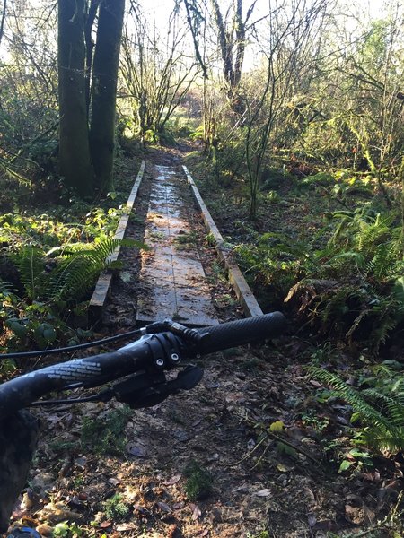
This is the bridge between the meadow and the forested part of the connector trail.
This is the bridge between the meadow and the forested part of the connector trail.