4.9 hr
Overview
Beginning at the parking lot a quarter mile into the park, take Trail 110 as it alternates between doable climbs and sections of hike-a-bike for any of us mere mortals. Be alert for other trail users, especially descending bikers as they can be hauling down at many points.<br><br>Before the one-mile mark, riders will reach the bottom of the "Super Highway", a wide open section that's more of a road that becomes more level the higher up you go until it reaches the Kit Carson Loop Road and the trail above becomes tight singletrack that climbs steadily through an increasingly beautiful forest (you might even find some huckleberries if you take a break). The last bit of this trail travels through close brush on a narrow embedded track that spills out into an intersection with a pit-toilet. <br><br>Turn right on the much more level Kit Carson Loop Road for three-quarter miles until you reach the CCC Cabin. Pay attention to any signs about walking your bike as this is a heritage area. Just south of the cabin is Trail 130, which is a particularly pretty traverse that starts by traveling through grassy slopes and tall trees. As the rolling terrain takes riders east, you'll encounter some dips and punchy climbs that can make it hard to maintain your momentum.<br><br>Stay with Trail 130 as it crosses the road and passes the left side of a pavilion in the Bald Knob Picnic Area (restrooms and water are seasonally available here). As the singletrack works back into the trees, it encounters a short, loose descent before connecting with Trail 131. <br><br>Continue descending on a fast and fun, root-strewn blaze that eventually works past some service buildings above the road. Cross the paved road and head into the Lower Selkirk Lot. Trail 120 begins at the bottom right corner of the parking lot, and Trail 290 (The Goods) turns off to the right after about 50 yards.<br><br>The trail drops quickly through a series of switchback, jogs, and jumps, some of which offer nice gaps. Almost all of the trail is shaded. As it continues, t
Trail Stats
15.4 km
607 m
1568 m
985 m
—
Photos
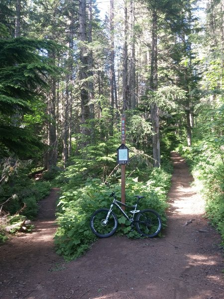
Junction of Trail 100 and 110.
Junction of Trail 100 and 110.
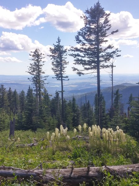
Beargrass blooming on Mt. Spokane
Beargrass blooming on Mt. Spokane
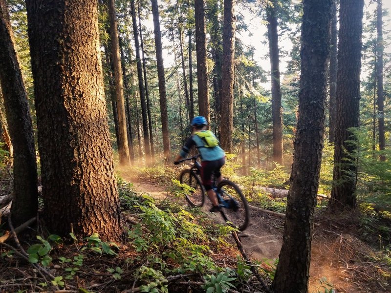
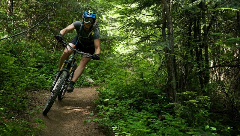
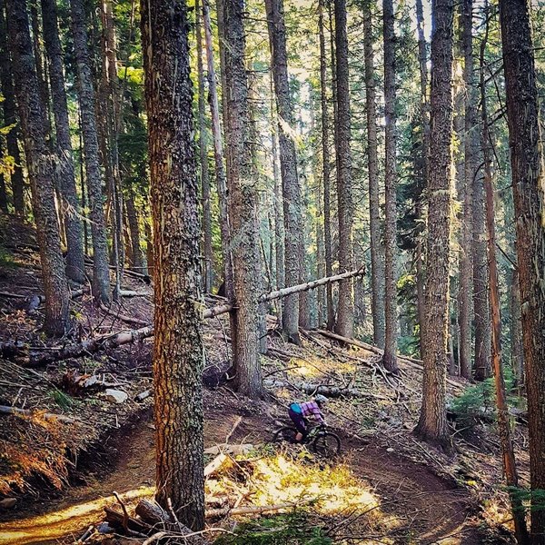
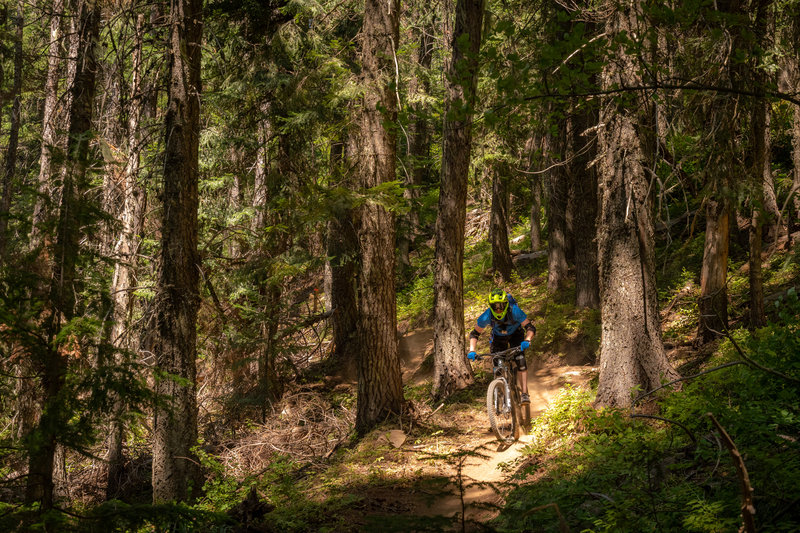
The Goods.
The Goods.
The Goods.
The Goods.
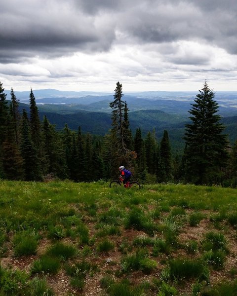
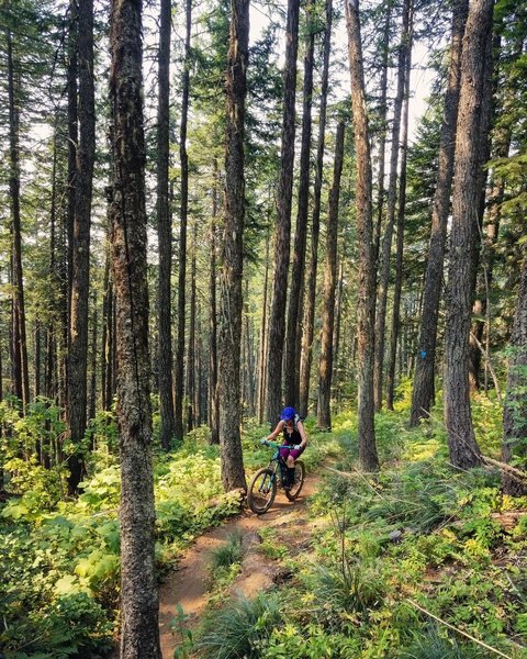
Traversing across 130
Traversing across 130
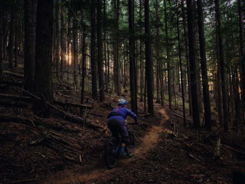
Early season ride at Mt. Spokane.
Early season ride at Mt. Spokane.
A perfect early season day on Mt. Spokane.
A perfect early season day on Mt. Spokane.
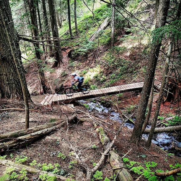
The first of 3 bridges on this trail.
The first of 3 bridges on this trail.
The Goods.
The Goods.
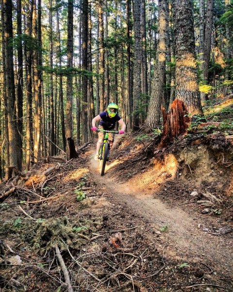
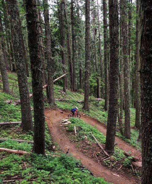
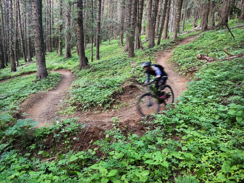
One of the first large berms in the top, flowy section of The Goods
One of the first large berms in the top, flowy section of The Goods
Climbing up 110.
Climbing up 110.
The first big corner on the upper section of the Goods.
The first big corner on the upper section of the Goods.
The Goods.
The Goods.
Flying down the upper section of The Goods
Flying down the upper section of The Goods
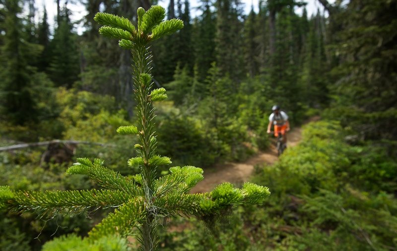
Riding down the top section of Trail 290
Riding down the top section of Trail 290
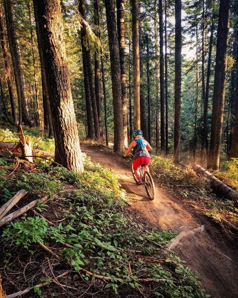
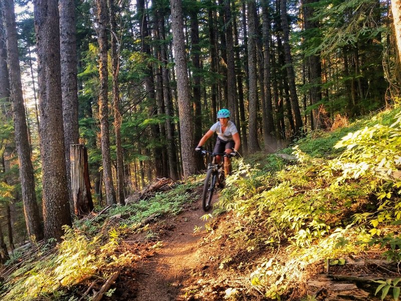
Chasing the light on the Goods
Chasing the light on the Goods