8.2 hr
Overview
Park at the Bead Lake TrailHead. (Turn onto Forest Road 3215 off of Bead Lake Road and drive approximately a 1/4 mile. The Parking lot is up on the right). The parking is free at this location.<br><br>Once on your bike, continue up Forest Road 3215. Stay on Forest Road 3215 to reach the Upper Bead Lake Trailhead. You'll begin climbing for 5.5 miles and 1100 vertical feet. This is the hardest part of the Loop as you only get a few views of the surrounding area and you climb a lot. If you like climbing then you'll have no problems with boredom.<br><br>Once you get past the 5.5 mile mark, the views become more frequent and the forest road gets a little more remote and fun to ride. At this point, you are riding in and out of ridge lines which offer great views of both the Pend Oreille river valley and the Priest Lake mountain ranges. At about the 8.4 miles mark, you'll be at the highest point in the ride at approximately 4,575 feet. From here it is all down hill with the exception of a few short climbs along the way.<br><br>Have fun bombing down the forest road. It descends quickly and rolls really fast! Don't forget to look to the right and take in the scenery of the surrounding mountains.<br><br>As you are descending, stay on Forest Road 3215 until you reach the Upper Trailhead of Bead Lake Trail. The Trailhead reader board sits off the road about 50' to the South. <br><br>The start of Bead Lake Trail is fun and fast. The trail gently climbs a short distance and then descends rapidly on hard packed dirt. Be cautious of hikers. Not many hikers reach this area but still be on the lookout and use good trail etiquette.<br>The trail winds down to the creek bottom then out to Bead Lake. You'll encounter a couple of camping area's which are neatly kept. You'll also encounter another Bead Lake "Spur" Trail that takes of to the right (West). This Spur trail only goes up a mile and then dead ends. <br><br>From here the trail starts around Bead Lake and is very straight forward. Take your time and enjoy the amazi
Trail Stats
27.9 km
722 m
1346 m
863 m
—
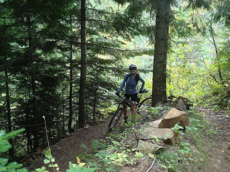
Photos
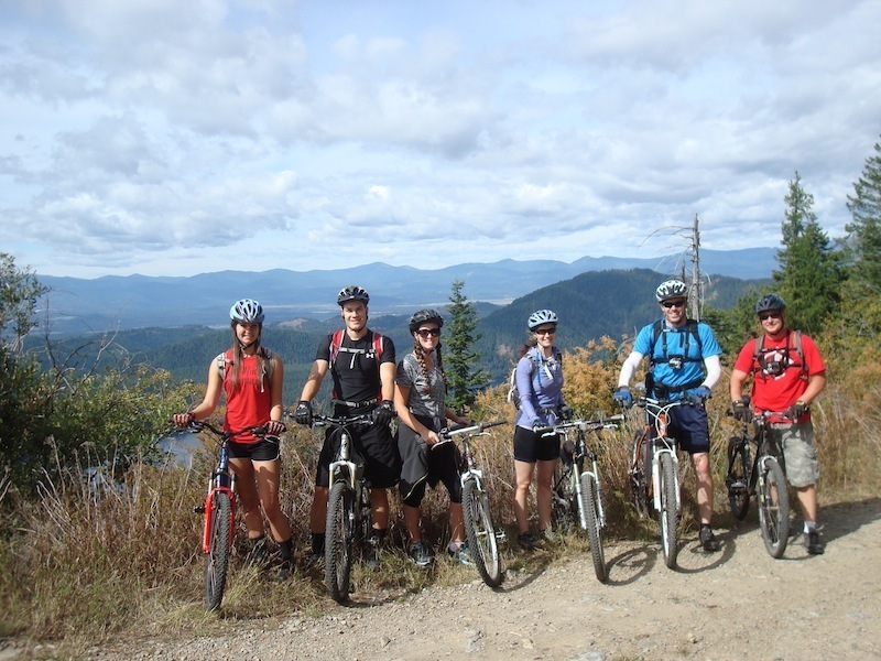
Group Photo from Forest Road 3215- Looking out over Bead Lake and the Pend Oreille River Valley
Group Photo from Forest Road 3215- Looking out over Bead Lake and the Pend Oreille River Valley
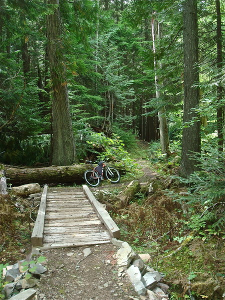
This is one of the half dozen wooden bridges along the way. Fun to cross!
This is one of the half dozen wooden bridges along the way. Fun to cross!
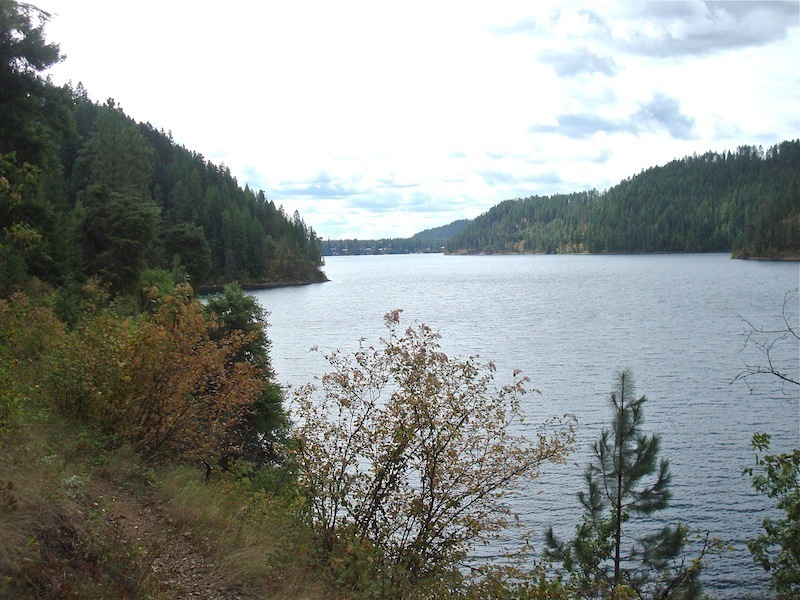
Bead Lake from the trail
Bead Lake from the trail
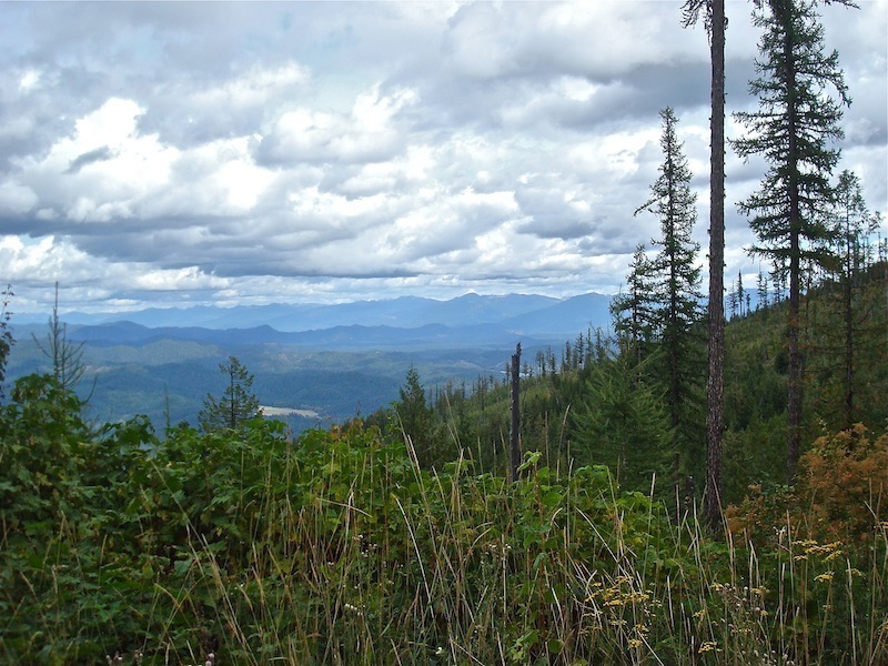
Looking northeast, into the Priest Lake Valley, and surrounding mountain ranges of Idaho
Looking northeast, into the Priest Lake Valley, and surrounding mountain ranges of Idaho
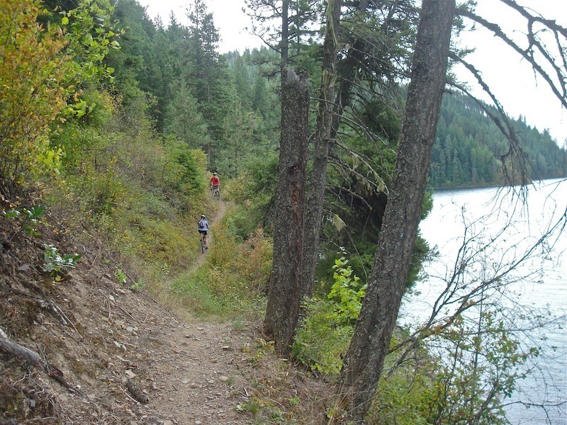
After descending from the ridge top, the trail starts its journey along the east side of Bead Lake. Awesome views with some mild technicals along the way.
After descending from the ridge top, the trail starts its journey along the east side of Bead Lake. Awesome views with some mild technicals along the way.
Coming down Bead Lake trail from top trailhead. The first in the series of fun switch backs. Fun, fast descent at this point.
Coming down Bead Lake trail from top trailhead. The first in the series of fun switch backs. Fun, fast descent at this point.