4.0 hr
Overview
Here are some written directions. I recommend using the GPX file or <a href='/mobile-app'>MTB Project mobile app</a>. It's a lot easier than reading my directions.<br><br>- Park at the baseball fields along the Sammamish River Trail (SRT). <br><br>- Don't get on the trail, instead go west and cross the bridge over the river towards the wineries. You'll turn right along with the road and follow the concrete path. You should not have to ride along the road. When you reach the end of that path, you'll reach the Tolt - Pipeline Trail. Take a left and carefully cross the road. <br><br>- You'll rejoin the westbound half of the Tolt - Pipeline Trail, then climb up out of the valley toward the Kingsgate suburbs. Turn right (north) once you hit the 405 and turn left to cross over on the bridge. (I recommend using the crosswalks, it's way safer.) <br><br>- After you safely cross the 405 and take the first right down a paved road, then left towards and around a small apartment complex, you should see the Tolt - Pipeline Trail. Rejoin the Pipeline Trail, you should end up going northwest. <br><br>- Begin an epic ascent up Norway Hill. At the top of that, you'll see a sign signifying the end of the Pipeline Trail. <br><br>- Follow the downhill-style trail section that takes you to Howling Coyote Disc Golf Course. Then you'll cross the parking lot. <br><br>- Join the Burke-Gilman Trail: Riverside Dr Section for around half a mile. Turn left at the stoplight, then another left before you cross the river. This will lead you to the Sammamish River Trail (SRT). (You can also take a small bridge across the river on the left off of Burke Gilman Trail and ride the SRT from the beginning. I recommend this. But the GPS takes you the other way.) <br><br>- Stay on the SRT under the 405 all the way back to the Woodinville baseball parking lots.
Trail Stats
14.9 km
199 m
140 m
7 m
—
Photos
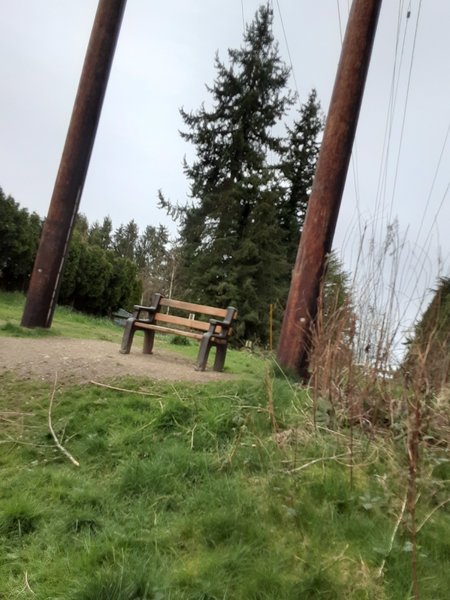
The Western End of the Pipeline Trail
The Western End of the Pipeline Trail