34 min
Overview
This is the longest loop at Whipple Creek Park. <br><br>This trail map starts at the southern intersection of the South Ridge Trail and North-South Connector. Head west. It will be a packed gravel and dirt mixture, and you'll start rolling through the trees. On the west end, you'll come to an open prairie with a picnic table. (Before the prairie is Burl Cutoff, a short-cut on the right. This takes the end off the South Ridge Loop.) <br><br>Right after the picnic table is a short descent. Keep to the right to stay in the loop. You'll pedal back through the trees with the Whipple Creek down below on the left. (There are several pigtails that cut through on the right. If you want to hit the single tracks or 45th Parallel this is where you can pick them up.) <br><br>At the intersection hang a right, making your way south to connect back to where you started.
Trail Stats
2.2 km
16 m
55 m
42 m
—
Photos
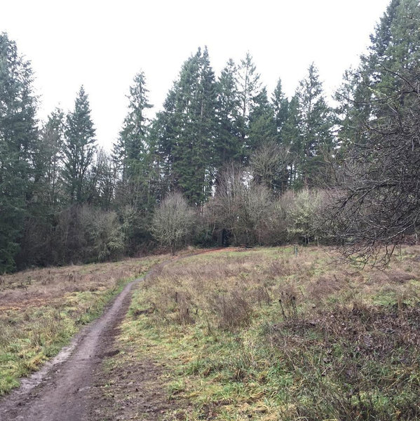
This clearing has a nice picnic table, and is a great place to pause on the South Loop trail.
This clearing has a nice picnic table, and is a great place to pause on the South Loop trail.
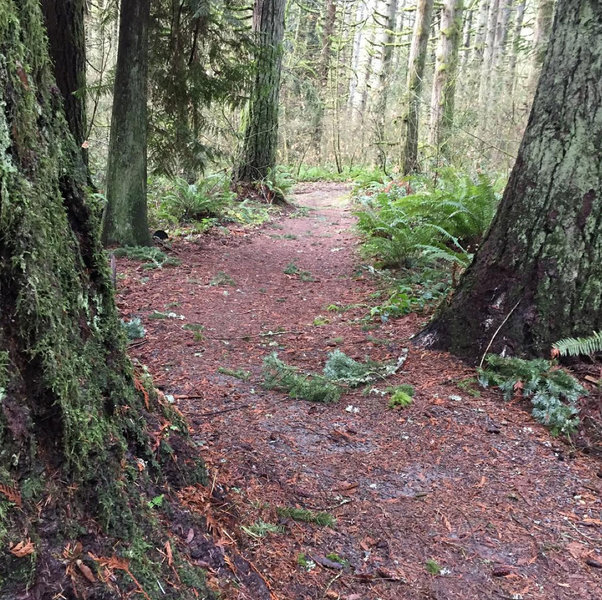
Heading up the 40 second long Carousel Hill portion of the South Ridge Loop trail.
Heading up the 40 second long Carousel Hill portion of the South Ridge Loop trail.
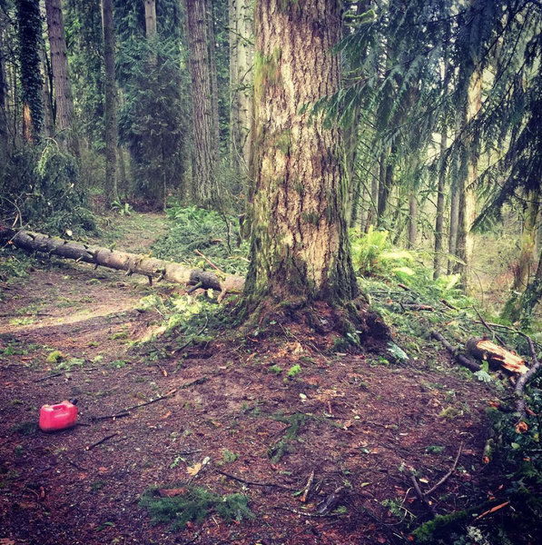
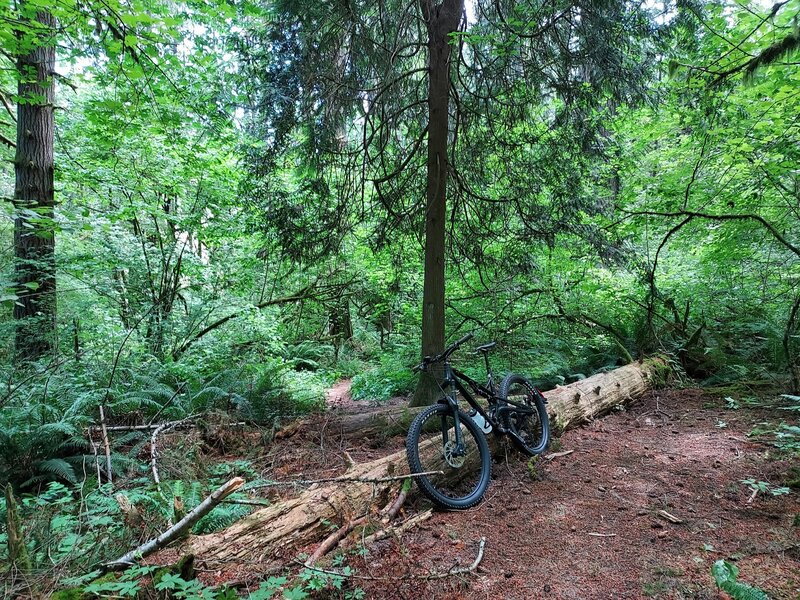
Sometimes, trees come down in wind storms. This one is gone now.
Sometimes, trees come down in wind storms. This one is gone now.
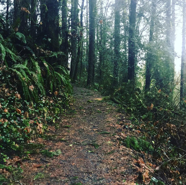
South Ridge Loop is a wide gravel path like this
South Ridge Loop is a wide gravel path like this
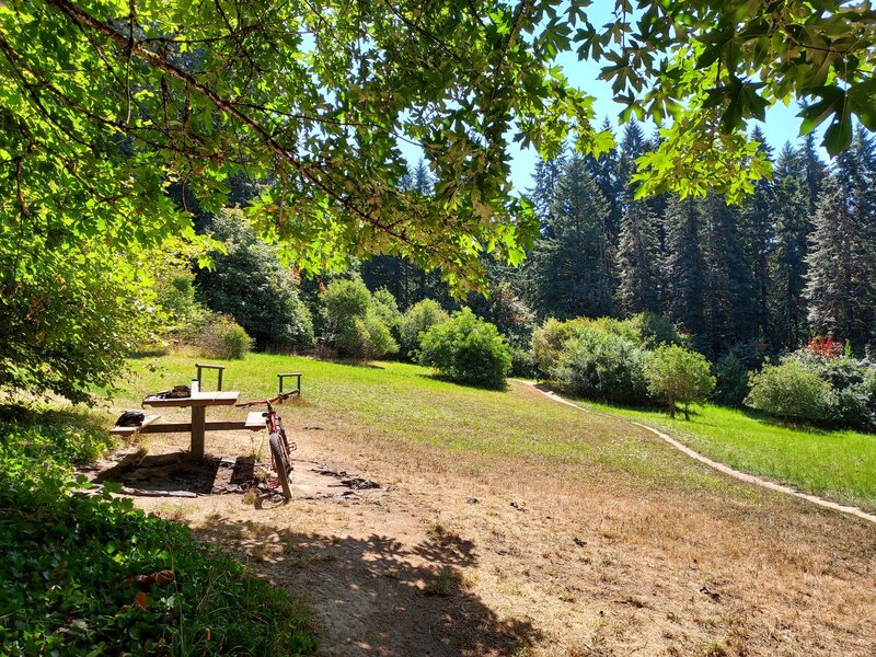
Picnic Area with one table.
Picnic Area with one table.
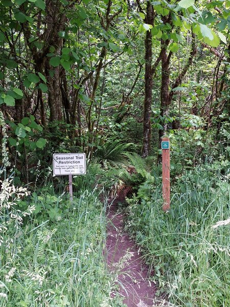
Seasonal trail sign for 45th Parallel at the picnic area.
Seasonal trail sign for 45th Parallel at the picnic area.
Trees blocking the west end of the 45th Parallel.
Trees blocking the west end of the 45th Parallel.