3.6 hr
Overview
For this ride, begin at the Upper Blanchard Hill Parking Lot (though you can also start at the lower parking lot and climb up the Lower Blanchard Hill Trail for more mileage). Head south on the road for several hundred feet until you see the Lily Lizard Trail to your left.<br><br>The first half-mile of Lily Lizard Trail is quite gradual and smooth; it's also lined by frequent rock culverts along the trail for drainage. As you climb up, the trail gets steeper and there are more short, technical spots to get you out of the saddle or even cause you to dismount. The climb feels pretty steady, so take it casual and make sure to enjoy the open forest on the lower half of the trail. <br><br>At 1.5 miles, there is a gentle creek crossing that pretty much disappears in the summer months. Settle in because the next section is one of the steeper stretches, but it will slack off after the 2-mile mark near a suspended bridge tucked into a small clearing. From there, you'll actually lose a little elevation for a bit before making one final climb through winding turns to the intersection with Lily Lake Trail and Lizard Lake Trail. <br><br>Head left onto the Lily Lake Trail for a mellow pedal to the edge of Lily Lake. About half a mile in, the trail features a very cool tree/rootball crossing near the intersection with the Oyster Lily Trail. As you near Lily Lake the trail becomes very faint\u2014proceed clockwise around the lake through a camping area and you'll soon see the trail more clearly again. <br><br>You'll come across a pair of signs pointing north to Lizard Lake and south to Lily Lake, this marks the end of the Lily Lake Trail and the start of the Lily Lizard Connector Trail (yes, the names are very confusing). There is also a third trail that is hiking-only called North Butte Overlook, it's a short hike to the lookout, and worth pushing your bike part-way up and part-way down to enjoy.<br><br>When you're ready to proceed to the Lily Lizard Connector prepare for a change in pace. This mountain-biker built section of
Trail Stats
11.6 km
440 m
635 m
259 m
—
Photos
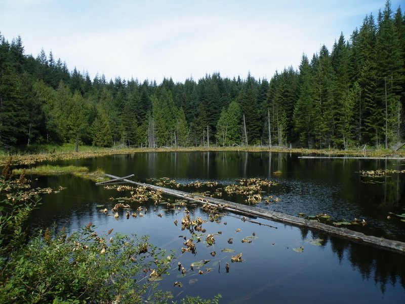
Lily Lake
Lily Lake