10.1 hr
Overview
Start at the Asotin Creek Trail trailhead (or park 0.5 miles down the road if the road is closed and gated for the winter). Discover Pass required for trailhead parking. <br><br>Bike up Lick Fork Road 3.6 miles and take the left 'Farm Trail/Road' on NF-350/NF-351. At mile 6.2, you go right 0.15 miles through farm land/wheat field to get up to the ridge. Follow the ridgeline and eventually it becomes NF-163. You'll be on some rocky surfaces. <br><br>At mile 8, you go right onto Forest Service road NF-163 and weave through a forested area. Check your map and <a href='/mobile-app'>MTB Project mobile app</a> because around mile 9.2 is where you have to find the entrance to the Pinkham Trail (difficult to find the first time - GPS or map required). <br><br>Pinkham is more suited for a hiker. You may slip down this trail on the edge of the slope, weave through a forested area, and a mile later hit the Asotin Creek Trail and the creek. Turn left and ride 11 miles (1,500' down) back to the parking area. <br><br>The singletrack sounds easy until you hit hidden, sharp rock the first three miles, haul your bike over/under many downed trees. The closer you get to the end, the easier the trail becomes. The last 3 or so miles is a former dirt/rock 'road' along the creek.
Trail Stats
34.7 km
860 m
1414 m
594 m
—
Photos
Mile 9 of the Asotin Creek trail
Mile 9 of the Asotin Creek trail
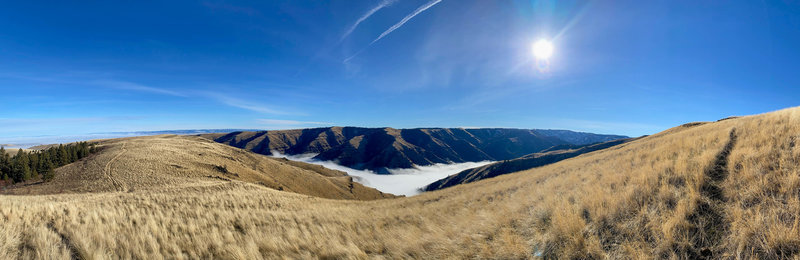
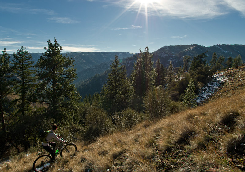
View after 2/3 of a tiring climb of 2,600' for the day.
View after 2/3 of a tiring climb of 2,600' for the day.
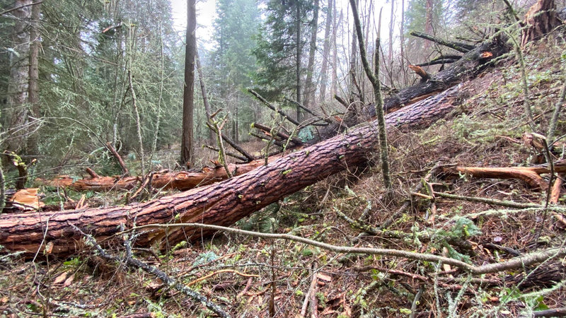
Be prepared for downed trees once you get down to the long, Asotin Creek trail.
Be prepared for downed trees once you get down to the long, Asotin Creek trail.
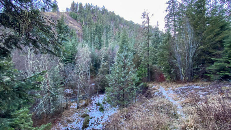
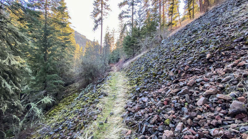
Mile 10.5 of the Asotin Creek trail
Mile 10.5 of the Asotin Creek trail
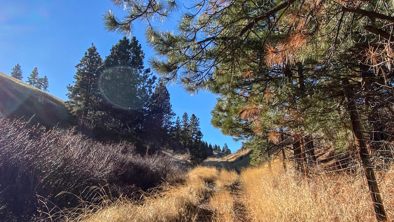
Mile 8 of the Asotin Creek trail
Mile 8 of the Asotin Creek trail
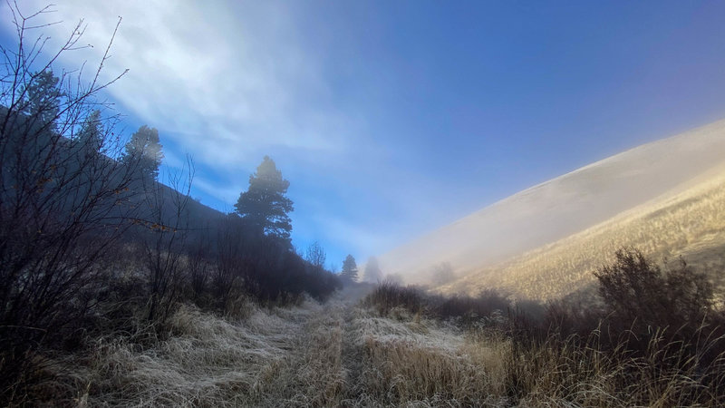
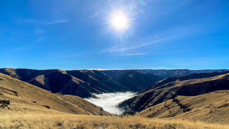
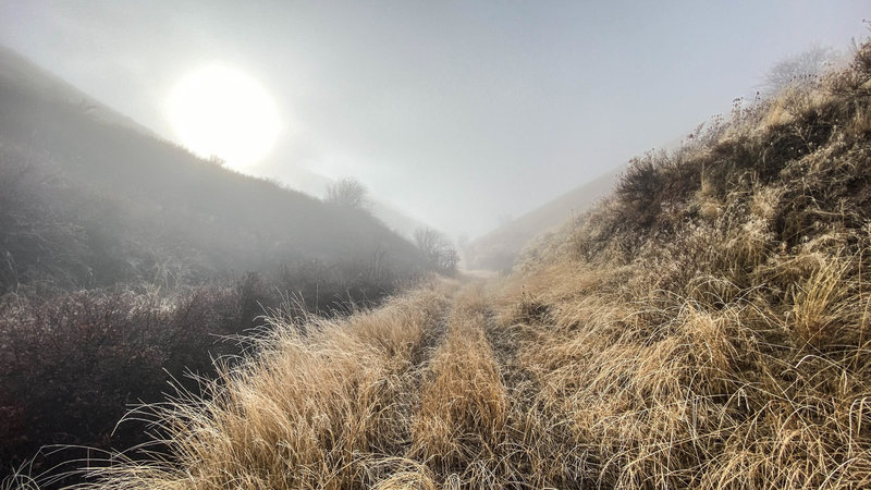
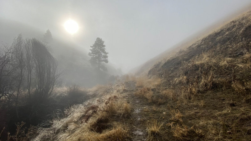
Top of the Pinkham trailhead #1. The trail slants toward the right and heads into the drainage ( shade ) and the fog.
Top of the Pinkham trailhead #1. The trail slants toward the right and heads into the drainage ( shade ) and the fog.
Mile 8. The 'hidden' tracks are bumpy and rocky and at times either frozen or wet
Mile 8. The 'hidden' tracks are bumpy and rocky and at times either frozen or wet
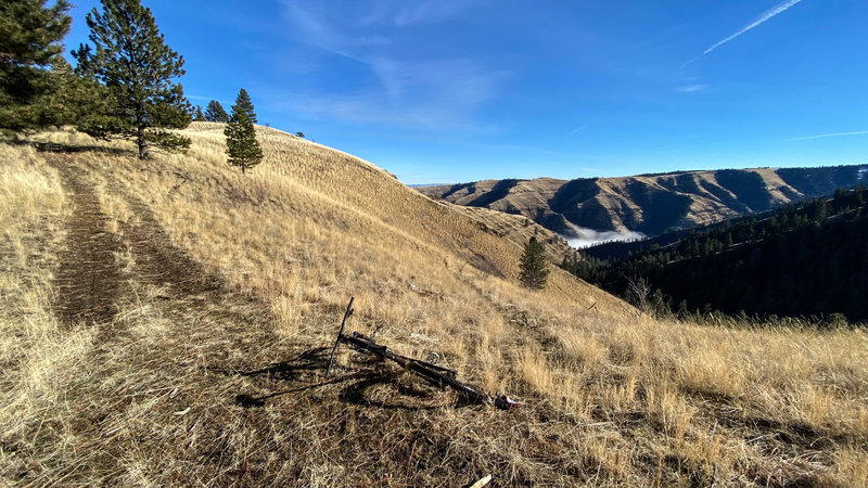
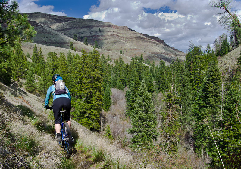
Beautiful view at mile 7.7. Looking down on the Asotin Creek trail
Beautiful view at mile 7.7. Looking down on the Asotin Creek trail
Still not at the upper ridge.
Still not at the upper ridge.
Past mile 4.2 leaving Lick Fork Road.
Past mile 4.2 leaving Lick Fork Road.
View after turning off Lick Creek road
View after turning off Lick Creek road
Taking a break from steep climb up S. Pinkham trail.
Taking a break from steep climb up S. Pinkham trail.
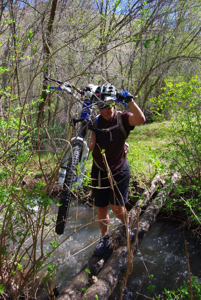
Crossing Lick Creek full of Spring run off.
Crossing Lick Creek full of Spring run off.
The hill area along the N. Fork Asotin Creek
The hill area along the N. Fork Asotin Creek
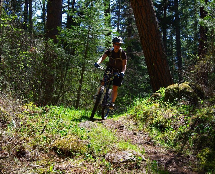
Flowy section of the N. Fork trail
Flowy section of the N. Fork trail
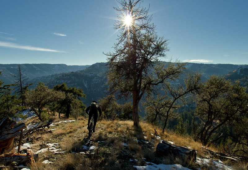
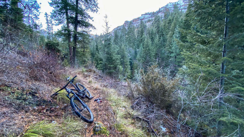
Starting down S. Pinkham Trail
Starting down S. Pinkham Trail