12.9 hr
Overview
This ride begins at the forest service trailhead and then the riding starts on Forest Service Road (FR56). The road provides access to the Middle Fork Snoqualime Trail #1003 at multiple locations. There are bridges to access the trail at the Dingford TH and at the hotsprings.<br><br>The trail follows the Snoqualmie River paralleling the Forest Service Road (FR56) on the opposite bank. The very top of the trail is the wildest and least ridden, the middle part of the trail in between the hot springs and the Dingford trailhead is very technical and challenging. Finally, the last part to the end of the trail sees the most traffic and is the easiest. <br><br>The entire trail can be conquered in sections or in its entirety depending on how much energy you have. As mentioned, there is a road that is near the trail the entire way, but this road is across the river and is not always easily accessed since the river can be quite high even in June. The major crossings below the hot springs all have bridges, so if you are attempting this trail in early June you'll be getting wet unless you stay below the hot springs. <br><br>If you are unsure of how much of this trail you want to ride, I would simply climb on the road to the gate and then cross the river and descend the trail from there. This is the best introduction.
Trail Stats
46.0 km
859 m
828 m
312 m
—
Photos
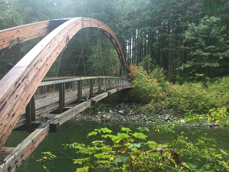
Admiring the nearby bridge over the Middle Fork of the Snoqualmie River.
Admiring the nearby bridge over the Middle Fork of the Snoqualmie River.