26 min
Overview
The base of Keystone begins off of Bottle Opener or Road 2722 and winds toward the Freedom Bridge (constructed in 2014) which spans a steep gully. Take a moment to appreciate this hand crafted beauty before making the sharp climbing turn on the other side. <br><br>From the bridge, riders will follow the newest segment of Keystone which winds and turns through a recent clearcut. This area is lovely in the warmer months, particularly around July when the fireweed is blooming in full force. Come the winter month's though, and it can quickly turn into a muddy mess.<br><br>At the top of the clearcut the trail returns to its old school roots and the trail gets a little more narrow, sometimes entrenched in the landscape, and features more root obstacles. The difficulty becomes more noticeable, particularly on the climbs, the higher up you go. There is a very brief road crossing at about the two-thirds mark. The top of Keystone feeds out into a gravel road intersection across from Naughty Nelly.
Trail Stats
1.4 km
57 m
456 m
402 m
—
Photos
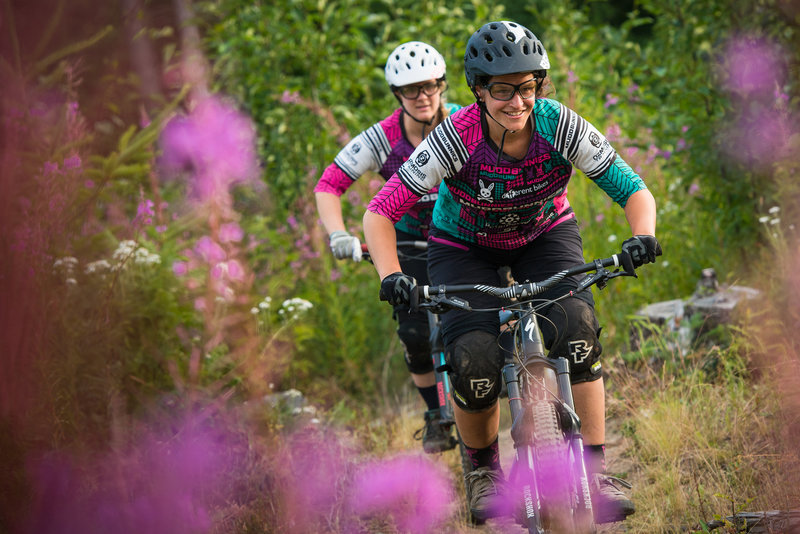
Libbe and Ashley enjoying a July evening ride through the fireweed on the Keystone Trail on Galbraith.
Libbe and Ashley enjoying a July evening ride through the fireweed on the Keystone Trail on Galbraith.
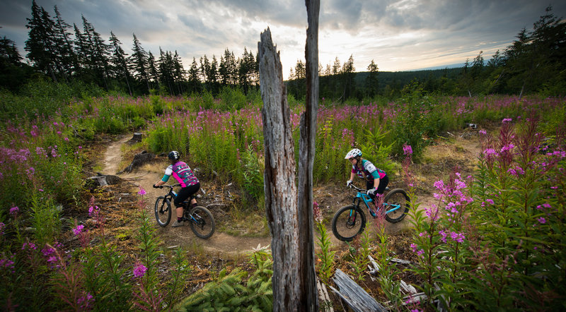
Exploring the July fireweed blooms on Keystone, Galbraith Mountain - Bellingham.
Exploring the July fireweed blooms on Keystone, Galbraith Mountain - Bellingham.