2.0 hr
Overview
Off I-5 take the 179th exit (Number 9) and head west. Turn left on NW 21st. There will be a brown metal Whipple Creek Park sign. Head to the end of the road and park in the gravel lot. There will be an outdated park map posted at the trailhead. From there you'll have a wide range of options. Head due south (the trail that heads straight from the parking lot) and take the first right (West) onto Raspberry Lane. <br><br>At the Y take Cedar Loop, in 80 yards you'll see Rabbit Hole on your right. It's pretty tame unless it's wet. When wet the mud is sticky. Nimbly make your way between trees. It will end in a t-bone into North Ridge Way.<br><br>Turn left on North Ridge Way and it will take you back to the North-South Connector. <br><br>Once you cross the two bridges and walk up the hill to get to the South Ridge Loop keep heading south until you hit the wide open clearing. On your left is where Stone Mill Loop starts. The switch back is good for the heart and the faster riders will have fun trying to pass each other the flowing climb. <br><br>Once to the top it connects with the South Ridge Loop. Limit your speed as there are many blind corners and the odds are good that there are horses around the corner. <br><br>A good place to stop with new riders is the picnic table in the clearing on the west end. (At the picnic table happens to be where 45th Parallel singletrack starts/ends.)<br><br>After a rest continue to the shadowed, north side of the South Ridge Loop. It is a open wide gravel ride, great for a slow poke pedal with kids. Take a left at the interaction with the North-South Connector. Roll past Everson's Cutoff then at the 180 degree left be ready to be over your back wheel and slowly descend. Watch out for the steps in the bridge at the bottom. New riders will want to walk this descent. <br><br>(On your right will be Whipple Creek Way, which leads to the east end of the park.) <br><br>Continue on North-South Connector crossing over the second bridge and head straight up the hill. This is a steep switchback
Trail Stats
7.5 km
83 m
59 m
29 m
—
Photos
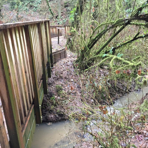
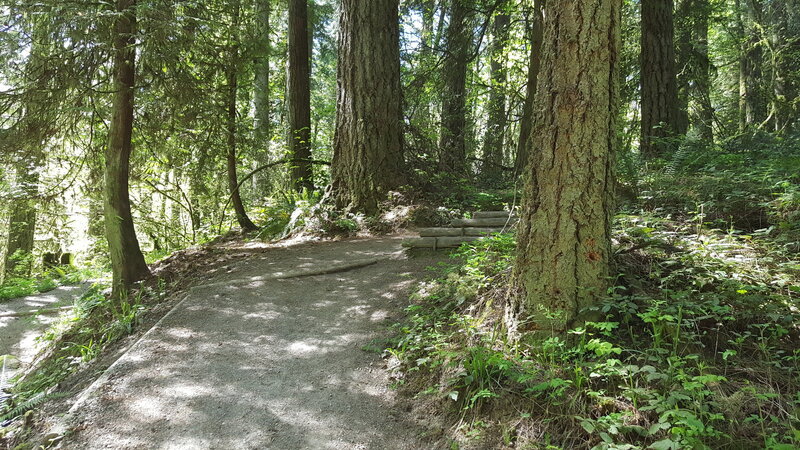
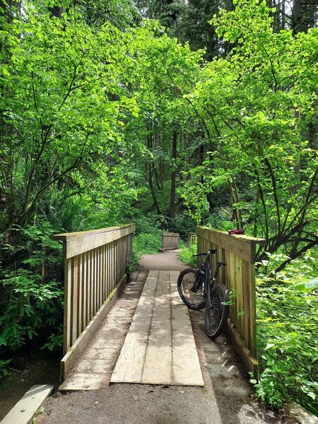
You know you are near the main parking lot when you see the double bridges. Five trails converge in this one spot.
You know you are near the main parking lot when you see the double bridges. Five trails converge in this one spot.
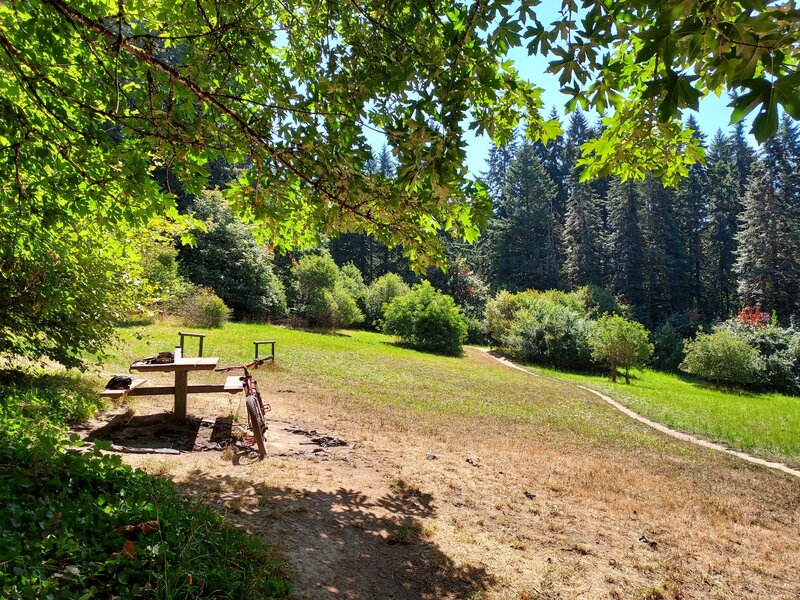
This clearing has a nice picnic table, and is a great place to pause on the South Loop trail.
This clearing has a nice picnic table, and is a great place to pause on the South Loop trail.
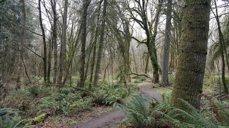
Heading back out towards the lot from the Cedar Loop side of things.
Heading back out towards the lot from the Cedar Loop side of things.
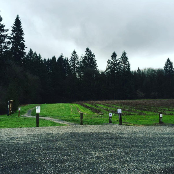
This is the view from the North parking lot off 21st. If it doesn't look like this you are at one of the unofficial entrances.
This is the view from the North parking lot off 21st. If it doesn't look like this you are at one of the unofficial entrances.
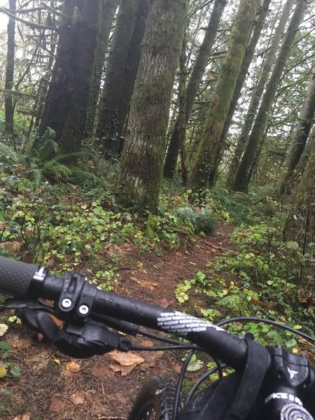
45th Parallel singletrack at Whipple Creek Park.
45th Parallel singletrack at Whipple Creek Park.
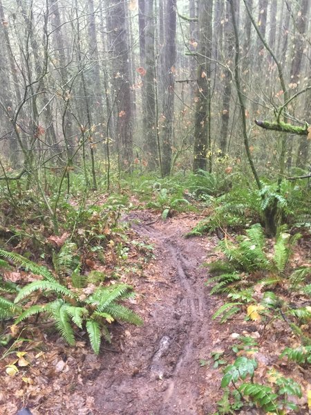
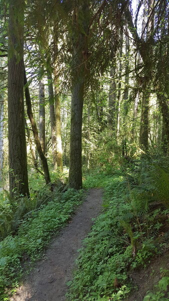
Heading downhill on the 45th Parallel in December
Heading downhill on the 45th Parallel in December
Heading up the 40 second long Carousel Hill portion of the South Ridge Loop trail.
Heading up the 40 second long Carousel Hill portion of the South Ridge Loop trail.
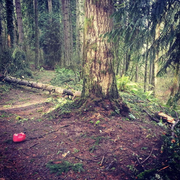
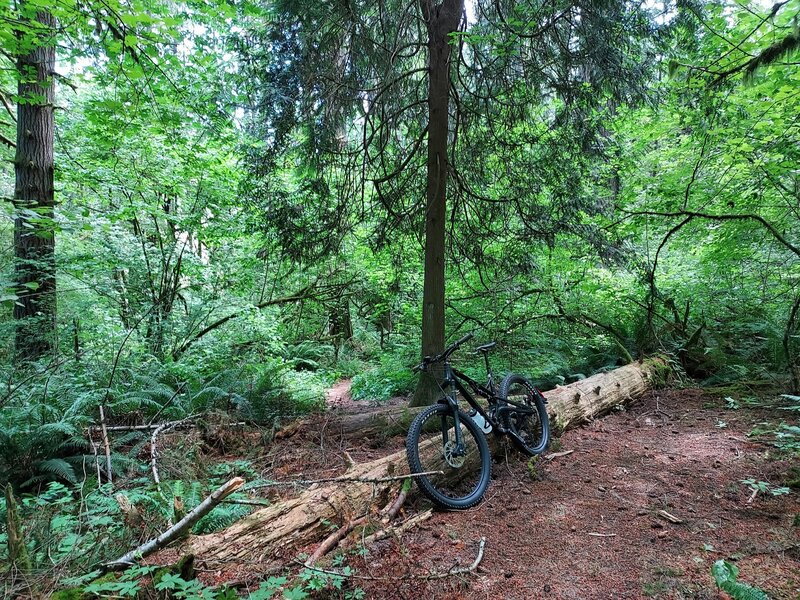
Sometimes, trees come down in wind storms. This one is gone now.
Sometimes, trees come down in wind storms. This one is gone now.
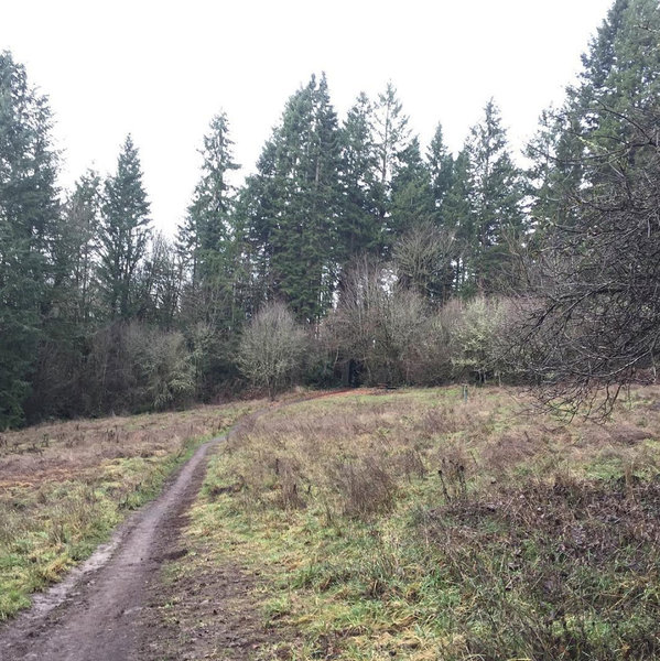
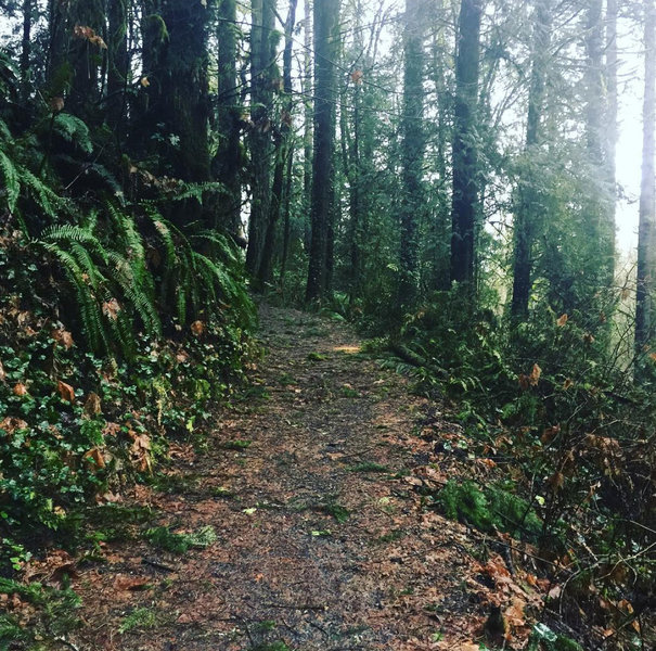
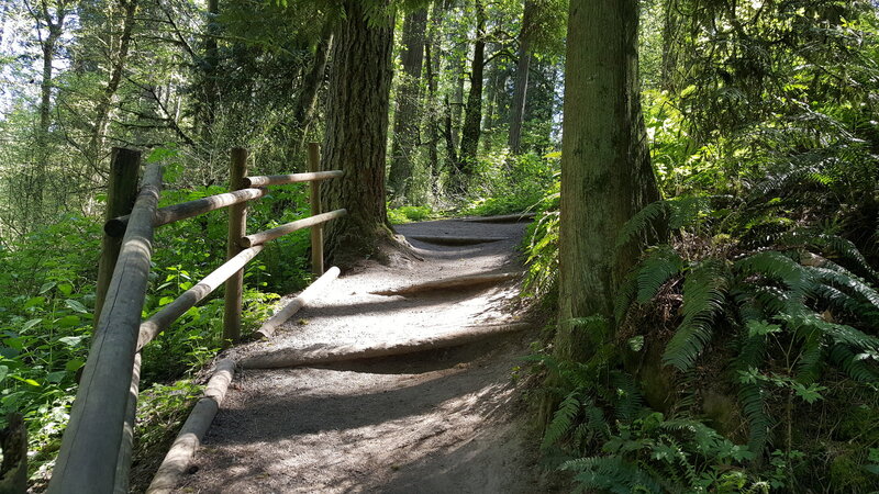
South Ridge Loop is a wide gravel path like this
South Ridge Loop is a wide gravel path like this
The Stone Mill.
The Stone Mill.
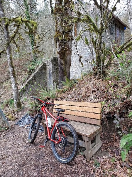
Picnic Area with one table.
Picnic Area with one table.
Start/Finish Rabbit Hole Loop.
Start/Finish Rabbit Hole Loop.
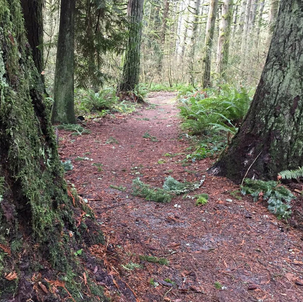
Rabbit Hole Loop.
Rabbit Hole Loop.
Moonshine Hill log stairs.
Moonshine Hill log stairs.
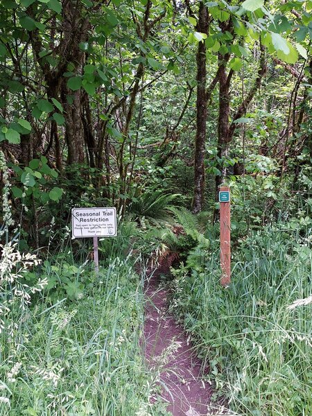
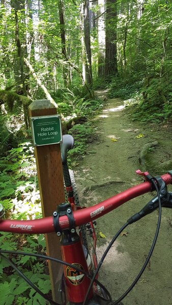
Seasonal trail sign for 45th Parallel at the picnic area.
Seasonal trail sign for 45th Parallel at the picnic area.
Trees blocking the west end of the 45th Parallel.
Trees blocking the west end of the 45th Parallel.
After Hill log stairs on the North-South connector.
After Hill log stairs on the North-South connector.
Bridges on North-South connector.
Bridges on North-South connector.
Stone Mill Loop.
Stone Mill Loop.