11.2 hr
Overview
Driving south on Highway 410, turn right on Old River Road and cross the Naches River. Turn right at the fork and park at the large gravel lot on the left. The ride beings with a long, steady march up FR 1706. The gravel route is pretty straightforward as you follow signs for Little Bald. At just under the 10 mile mark turn right at a fork on FR 1600. <br><br>This more rugged road continues for another 3 mile where the upper access point for Little Bald Mountain Trail (#961). The trail initially drops into the forest, down to a switchback, and then opens up to a large clearing and scree field. Take your time working your way across the rocky trail. The trail heads back into the forest and turns to a fast, smooth, and narrow ribbon of singletrack.<br><br>After a short climb near the 14-mile mark, the trail takes you adjacent to a steep cliff edge with sweeping views to the west. In the distance, the top of Mt. Rainier is visible across the vast forested hills. The trail borders the cliff edge for another 4 miles as you head northeast. <br><br>The route then takes you back into the forest and passes through a large clearing. Turning to the east the trail crosses a gravel road and then to a final series of switchbacks takes you down to the Halfway Flat Campground and along the Naches River. From here follow the sometimes faint trail to a parking area at the Boulder Cave Recreation Area and then finish the loop by taking Old River Road back to the bottom of FS 1706.
Trail Stats
37.6 km
1093 m
1657 m
746 m
—
Photos
Rocky Start.
Rocky Start.
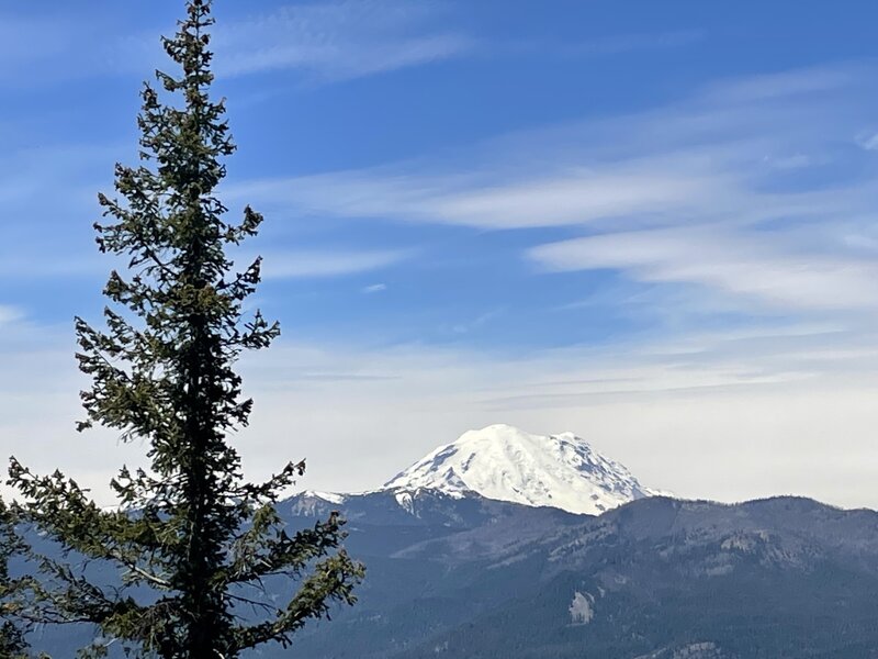
Nice views of Rainier.
Nice views of Rainier.
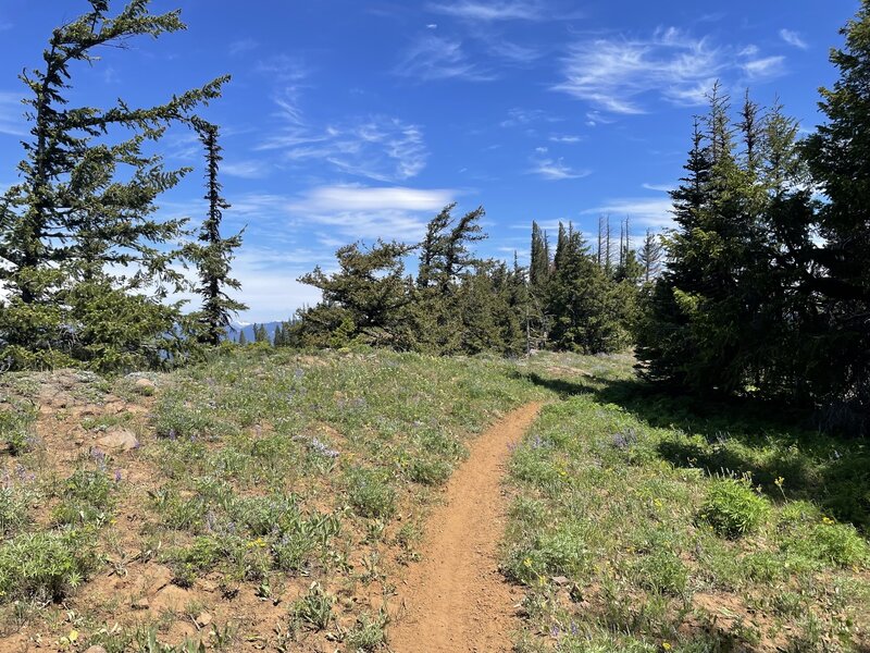
Lower Singletrack is Sweet!
Lower Singletrack is Sweet!
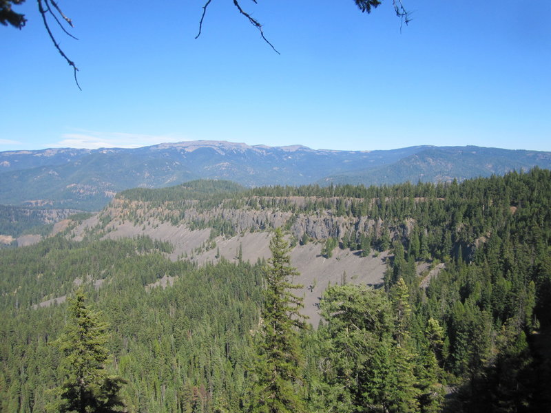
You'll ride along most the cliffs in the background.
You'll ride along most the cliffs in the background.
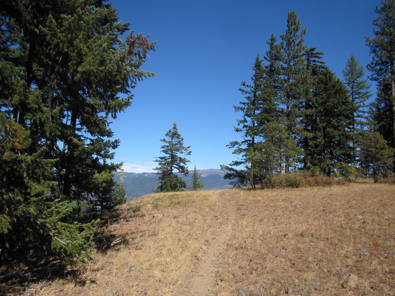
singletrack going down
singletrack going down
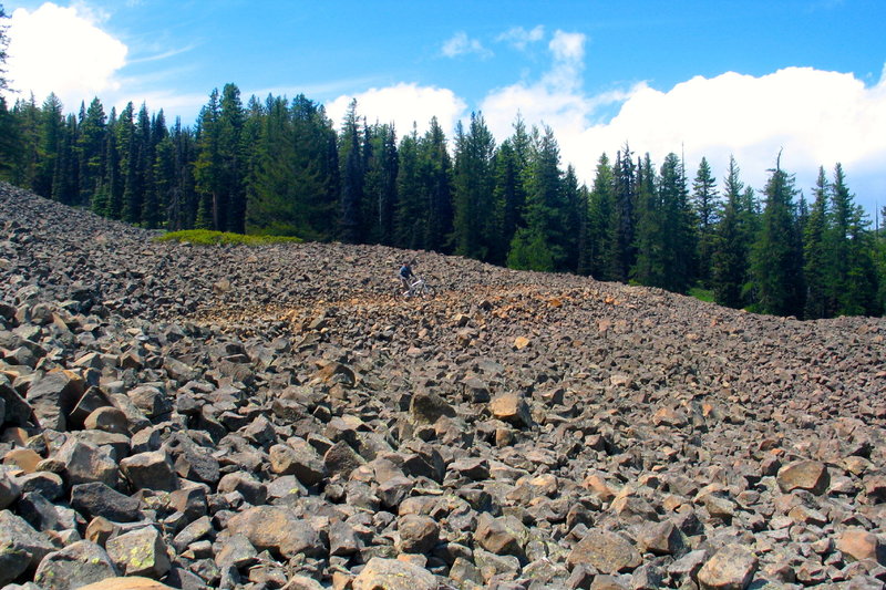
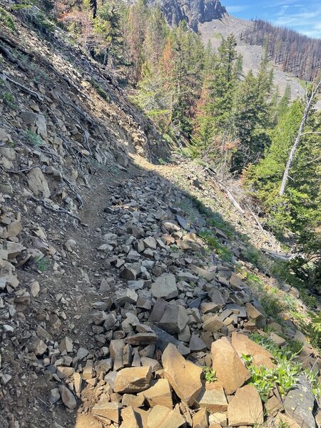
It's slow going as you negotiate the large scree field along the initial section of trail.
It's slow going as you negotiate the large scree field along the initial section of trail.
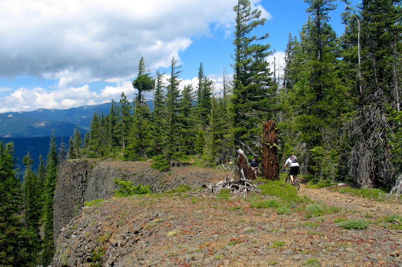
Riding along the rocky cliff edge on the Little Bald Mountain Trail.
Riding along the rocky cliff edge on the Little Bald Mountain Trail.