1.0 hr
Overview
DNR access road with smooth gravel/dirt tire tracks the entire way. Reasonably flat access road with several spurs off of this 'backbone'. You can explore the spurs on your own and hopefully they will be added to this map over time. <br><br>Park at either end of the run. The southern end has room for several cars while the northern end has limited room for maybe three or four cars. <br><br>Get your bikes over, under, or around the gate and you'll find a 2.3-mile doubletrack road. Mostly smooth dirt and gravel with occasional mud. Fairly dry while riding during a very rainy April. Should be okay for much of the year. <br><br>When done, you can reverse the route back to your car, or you can just ride the short distance on the paved road back to the other gate. The paved road is good but has no shoulder. Very limited traffic though.
Trail Stats
3.8 km
45 m
135 m
114 m
—
Photos
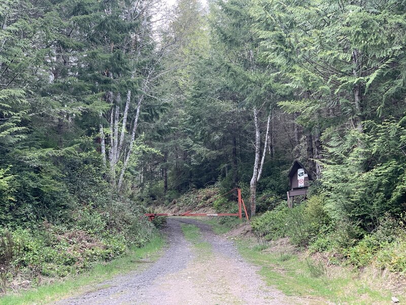
Northern access gate. Very limited parking just barely off the road. Use the southern gate instead.
Northern access gate. Very limited parking just barely off the road. Use the southern gate instead.
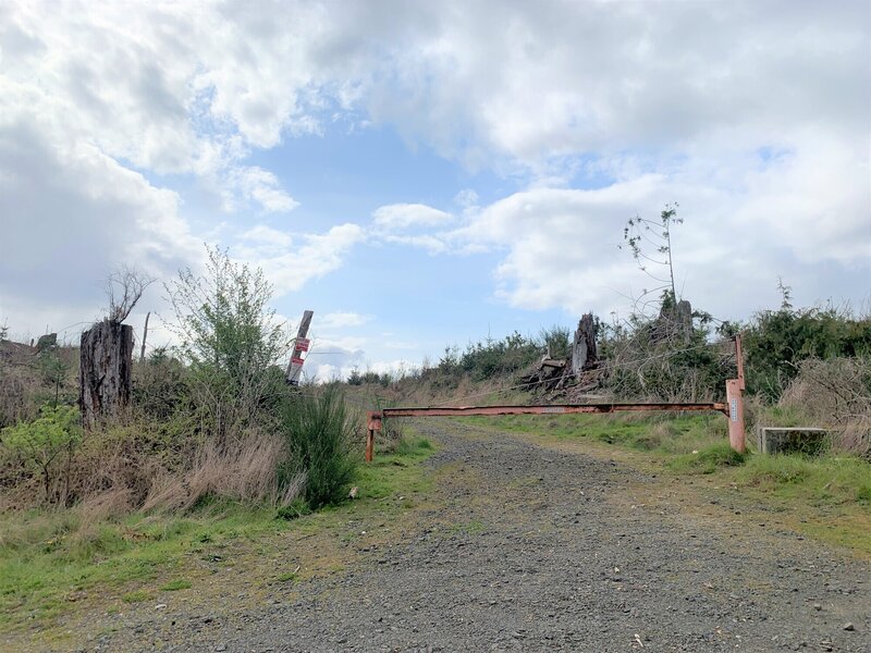
Southern gate. Parking for several cars. This entrance is the steepest part of the entire run. Otherwise pretty flat.
Southern gate. Parking for several cars. This entrance is the steepest part of the entire run. Otherwise pretty flat.