3.6 hr
Overview
The trail is all on BLM land and starts at the parking area located on Fishtrap Rd. Enter through the gate and continue southwest on the existing doubletrack mowed road and signed with "trail" signs. Ride about 1.5 to 2 miles and be watching for a brand new trail exiting on the left (southeast). <br><br>Turn left on this trail and enjoy this moderately technical section of the trail as it first heads towards Fishtrap Lake and then winds its way through the basalt layers along the lake. The trail is rideable but has several burned trees that have fallen over the trail recently. Since there was a fire here last year, these burned trees will continue to fall in this area. <br><br>This trail continues in a southwest direction along the lake and has very scenic views of the lake. The trail goes through a gate then continues to wind its way to a flat plateau about 40 feet directly above the lake. This is a great place for a break while you take in the scenery. The new singletrack becomes old signed doubletrack as it leaves the lake in a northwest direction. <br><br>Continue northwest on this doubletrack for a couple miles until you arrive at a parking area with a bathroom. Look for the trail on the northeast side of the outhouse where it becomes singletrack again and heads northeast through a scenic broad valley with a number of small ponds. <br><br>After about 1 mile to 1.5 miles, the trail will cross a doubletrack. Turn right on the doubletrack for a couple 100 feet and follow it up a gradual hill. Near the top of this short rise, the new singletrack angles off to the left to follow the rimrock above the lake/pond to your left. Pay attention to stay on the new singletrack as in a few places the cows that are allowed to graze here in the summer have crossed the BLM bike trail with their own trails. This is a fun section that will take you all the way back up over a low rock ridge to where you'll be able to see the parking lot you started from. New singletrack trails continue to be made here by the BLM so explore If y
Trail Stats
13.8 km
113 m
666 m
607 m
—
Photos
Ponds and birches.
Ponds and birches.
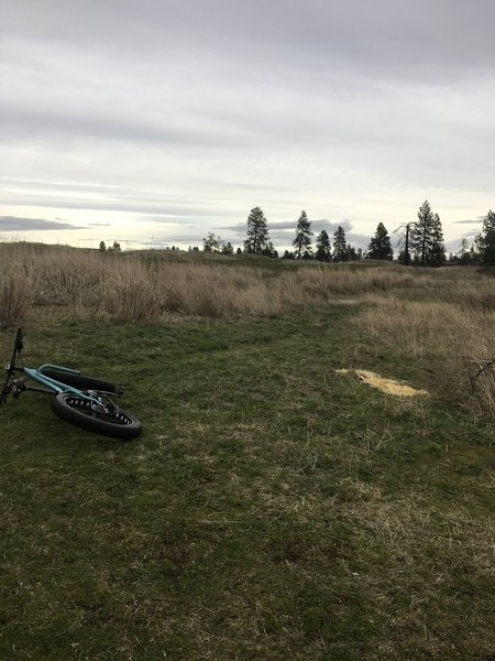
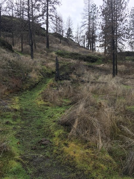
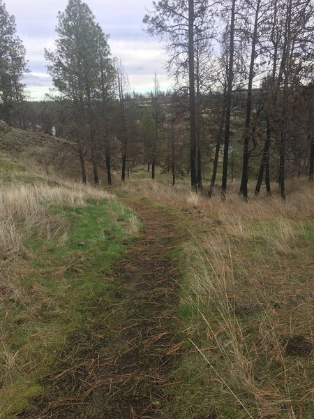
Singletrack trail leaving the alternate trailhead.
Singletrack trail leaving the alternate trailhead.
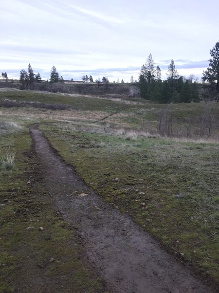
More of the newly made singletrack trail. Just beyond here, the singletrack will cross an old grass covered jeep trail. Look to your right down the road for the new singletrack trail continuing on the opposite side.
More of the newly made singletrack trail. Just beyond here, the singletrack will cross an old grass covered jeep trail. Look to your right down the road for the new singletrack trail continuing on the opposite side.
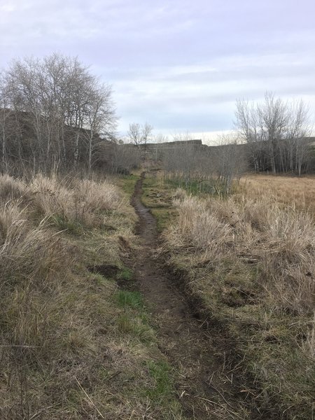
Brand new trail!
Brand new trail!
Heading NE from the lake, the trail returns to doubletrack for about 2 miles until you reach the bathrooms at the other trailhead for this loop.
Heading NE from the lake, the trail returns to doubletrack for about 2 miles until you reach the bathrooms at the other trailhead for this loop.
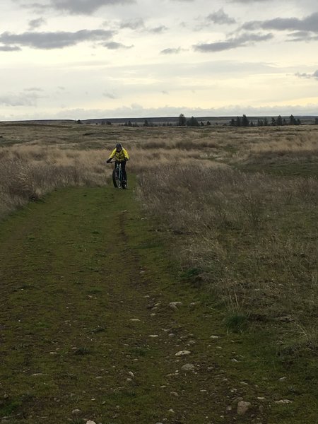
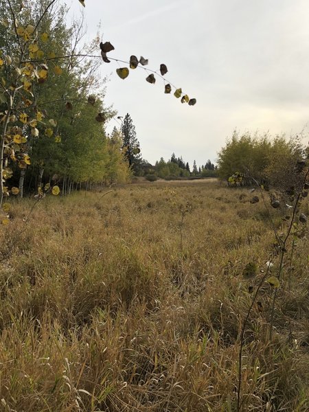
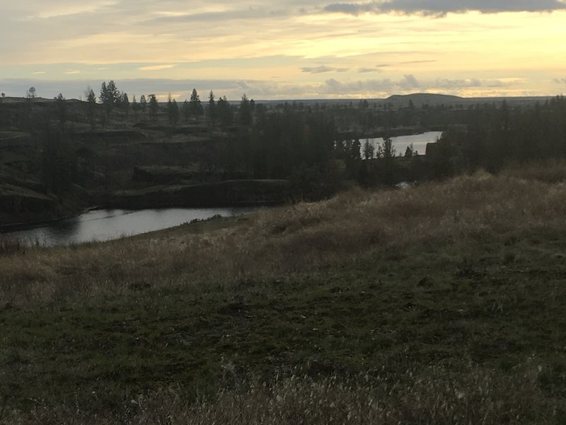
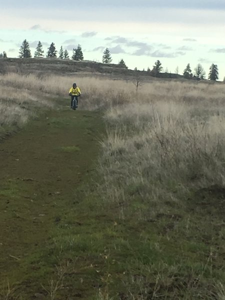
This far section of the trail changes to wide open vistas.
This far section of the trail changes to wide open vistas.
Difficult but rideable climb up from the Lake.
Difficult but rideable climb up from the Lake.
Newly constructed singletrack from here back to the car. Thank you BLM!
Newly constructed singletrack from here back to the car. Thank you BLM!
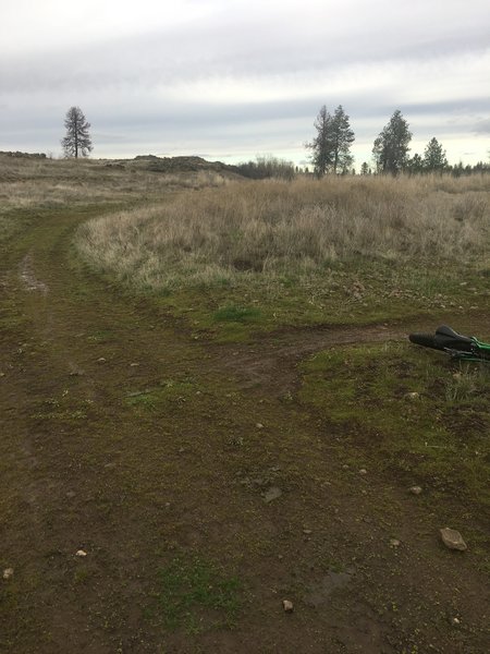
Be looking for the beginning of the singletrack trail taking off to your left about 1.75 miles from the trailhead.
Be looking for the beginning of the singletrack trail taking off to your left about 1.75 miles from the trailhead.
View from the South Trail Loop in the lowlands
View from the South Trail Loop in the lowlands
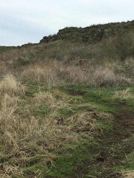
Trail running along a basalt ledge
Trail running along a basalt ledge
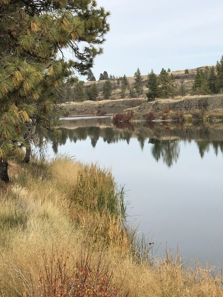
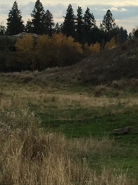
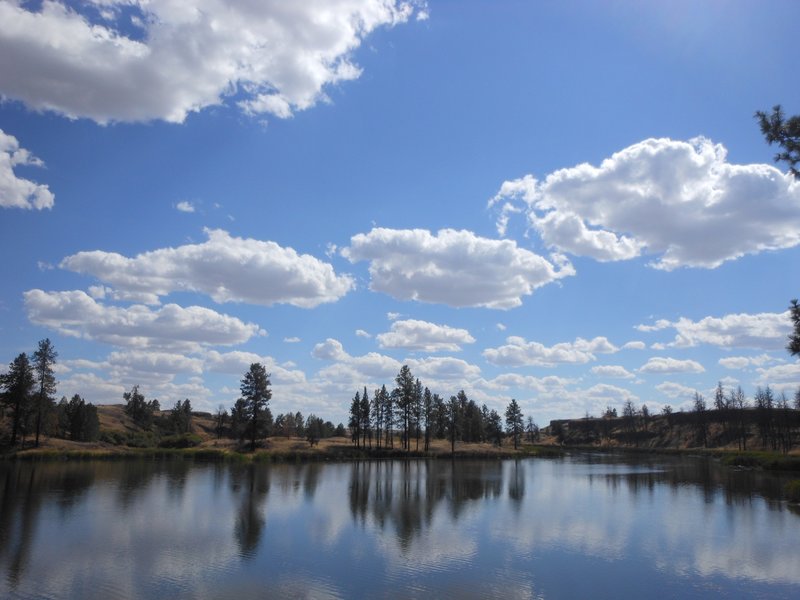
Fishtrap Lake is spectacular in the Fall
Fishtrap Lake is spectacular in the Fall
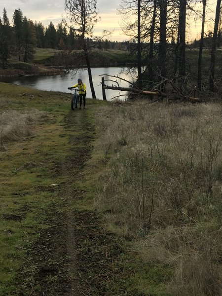
A nice place for a break about 4 miles in.
A nice place for a break about 4 miles in.
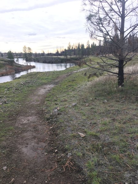
Fishtrap Lake from the trail
Fishtrap Lake from the trail
Beginning of the singletrack descent down to the lake.
Beginning of the singletrack descent down to the lake.
Climbing out of the burn section.
Climbing out of the burn section.
Very scenic section on a bench directly above the lake.
Very scenic section on a bench directly above the lake.
Doubletrack at the beginning of the Fishtrap Lake Loop.
Doubletrack at the beginning of the Fishtrap Lake Loop.
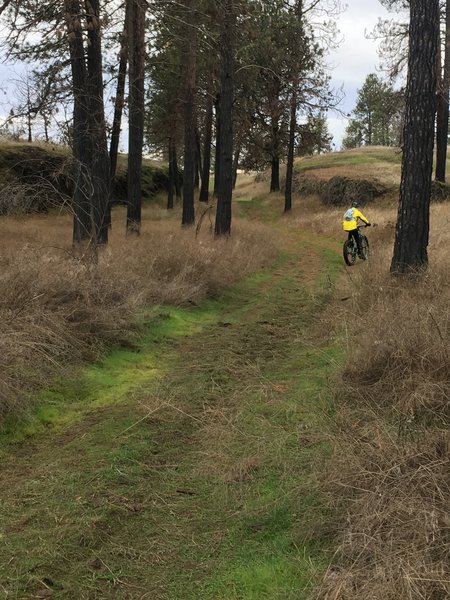
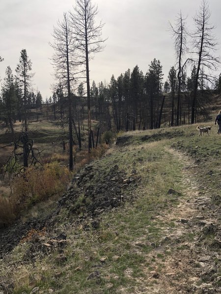
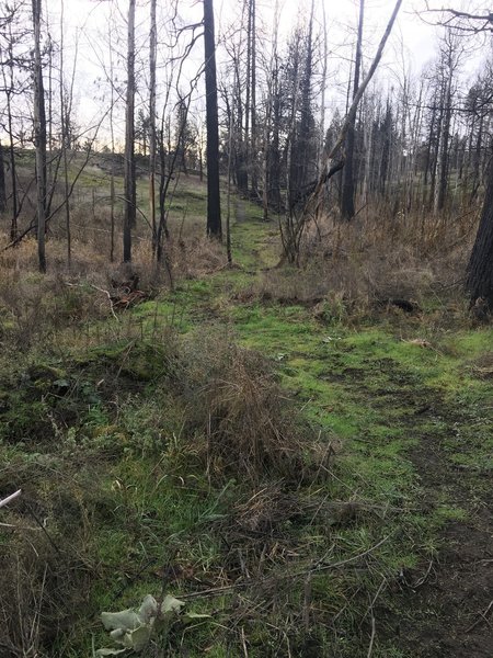
Singletrack snaking through the burn area. Fun and scenic section.
Singletrack snaking through the burn area. Fun and scenic section.
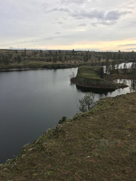
The south end of Fishtrap Lake
The south end of Fishtrap Lake

Sign post showing the junction of North and South Loop Trails
Sign post showing the junction of North and South Loop Trails