35 min
Overview
From the parking area, this trail cuts to the southwest, while the Main Loop trail goes almost due west. There is no signage to delineate the trails in this area so keep half an eye on the <a href='/mobile-app'>MTB Project mobile app</a>. Several drainage areas cross this trail too, so plan accordingly. The highlight of this route is the aspen meadows that you'll move through within the first mile of the trail.<br><br>Because the traffic in this area is predominately equestrian, many of the trails are very rutted and rocky.<br><br>After about half a mile, the trail intersects with Diamond Lane Connector where you can either link back up with the Main Loop and move back toward the water or you can continue on East Alternate for some "high" views of the area. While there is almost no elevation gain/loss in the entire area, this trail will give you the best approximation of a "bird's eye view" in this conservation area.<br><br>Once you've crossed the open meadow on the south side of Diamond Lane Connector, you'll move into a wooded area and up a hill (the hill section is highly eroded from equestrian traffic) to an open area with scrub brush and basalt rock features. The trail then moves gradually back down the hill and reconnects with the Main Loop. This section of the trail is festooned with basalt so hang on tight.
Trail Stats
2.2 km
24 m
735 m
716 m
—
Photos
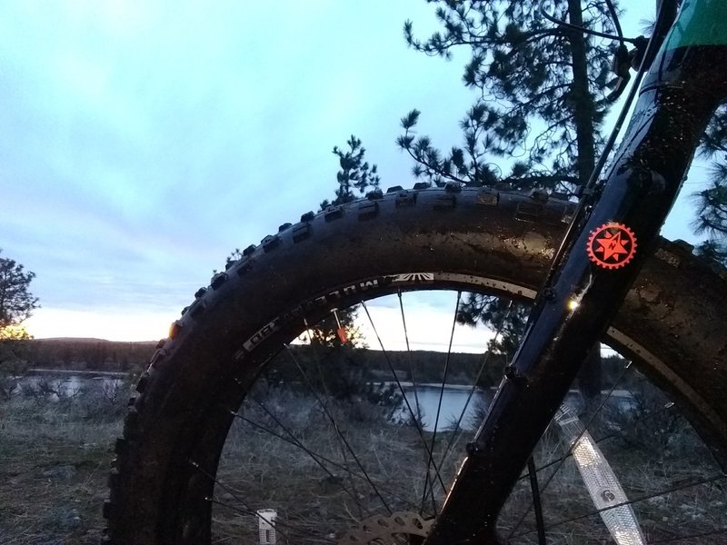
Sunset ride
Sunset ride
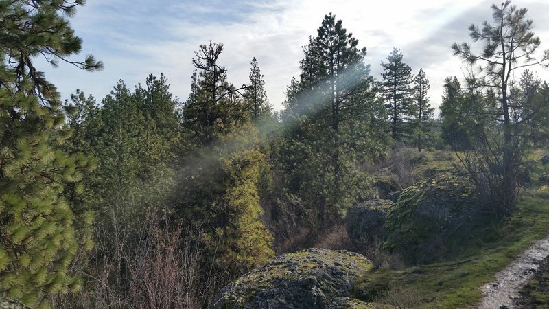
Basalt cliffs.
Basalt cliffs.
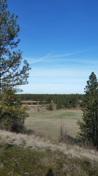
High point.
High point.
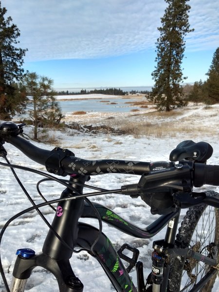
Snow biking
Snow biking
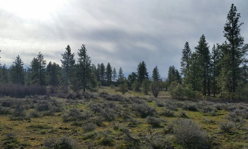
Sagebrush.
Sagebrush.
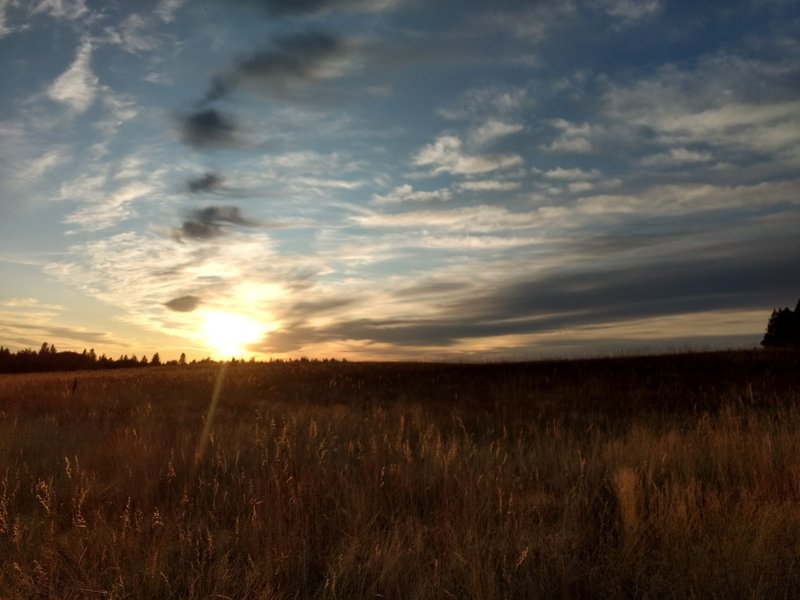
Autumn sunset
Autumn sunset
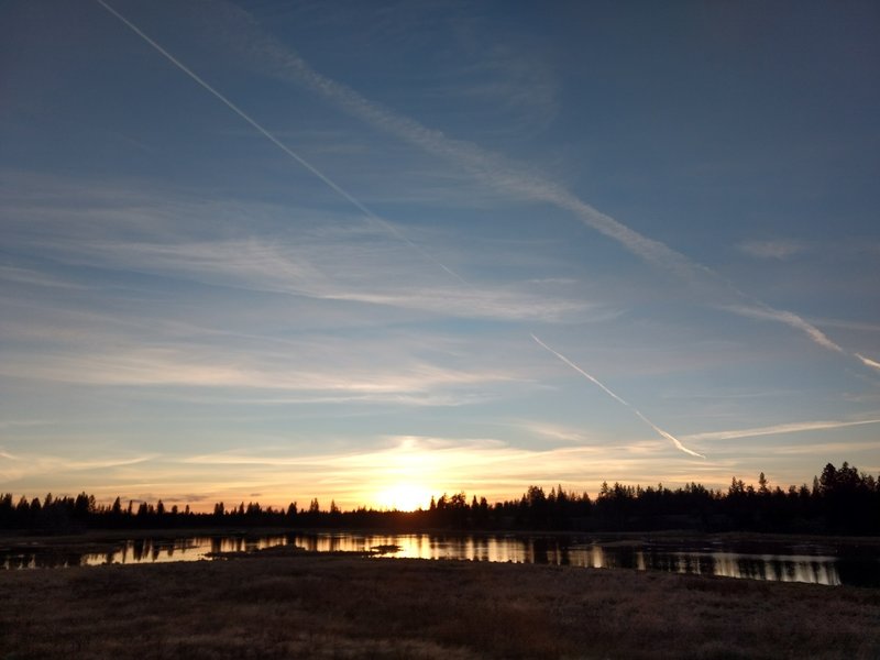
Spokane sky
Spokane sky